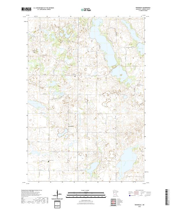
2022 Map of Rosendale
USGS Topo · Published 2022About this map
Rosendale stands at the center of this Meeker County landscape, where a complex network of glacial lakes and drainage systems defines the terrain. The community is linked to its history through the Arndahl Lutheran Cem to the north and the Immanuel Cem to the south, marking the enduring presence of local congregations. The hydrology of the area is particularly noteworthy, featuring Popple Lake, Kelley Lake, and Thoen Lake among several smaller water bodies. These natural features are connected by managed waterways such as County Ditch Number Sixteen and the meandering paths of King Creek and Belle Creek. The map reflects a predominantly agricultural grid, where section lines and county roads like Co RD 23 and Co RD 28 facilitate movement between family farms and rural centers.
Find a feature on this map
53 named features on this map. Tap any name to fly to it.
Don’t see what you’re looking for? This feature index may not catch every label — zoom into the map to look around manually.
Map Details
Editions of this 2022 Rosendale Map
This is the sole edition of this map. No revisions or reprints were ever made.
Other maps of this area

1953 · New Ulm
USGS Topo · 1:250,000

1953 · Saint Cloud
USGS Topo · 1:250,000

1956 · Atwater
USGS Topo · 1:62,500

1957 · Saint Cloud
USGS Topo · 1:250,000

1957 · New Ulm
USGS Topo · 1:250,000

1957 · Olivia
USGS Topo · 1:62,500

1958 · New Ulm
USGS Topo · 1:250,000

1958 · Saint Cloud
USGS Topo · 1:250,000

1967 · New Ulm
USGS Topo · 1:250,000

1967 · Grove City
USGS Topo · 1:24,000