Loading...
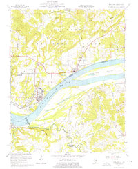
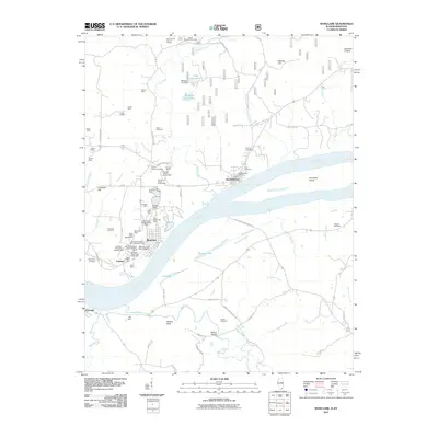
Loading map...1959 Map of Rosiclare
USGS Topo · Published 1975About this map
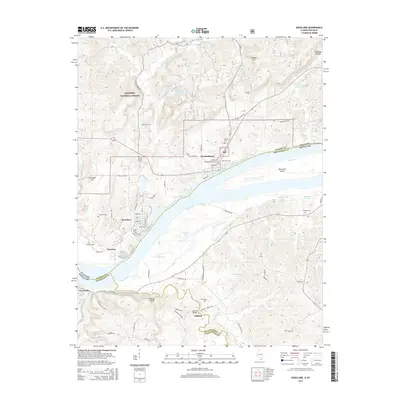
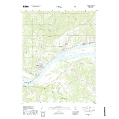
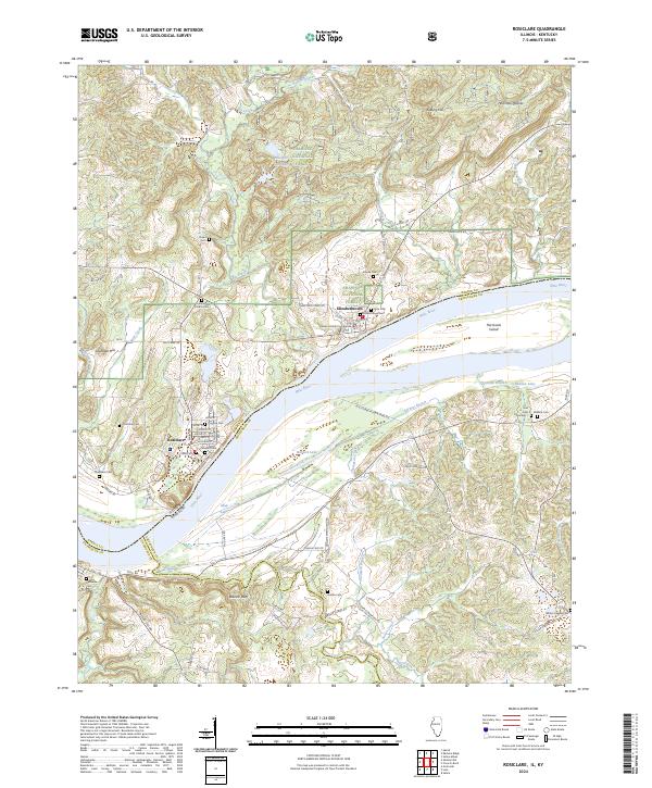
The industrial and riverfront character of Rosiclare and Elizabethtown dominates this mid-century landscape along the Ohio River. Heavy mineral extraction is central to the area's economy, evidenced by the extensive operations at the Rosiclare Mine, Ozark Mahoning Mine, and Alcoa Mine, complete with visible tailings ponds and a levee system protecting the town. Across the water in Kentucky, the rural character is more pronounced near Carrsville and Watson Bluff, where the land is carved by Deer Creek and Susan Creek.
Find a feature on this map
50 named features on this map. Tap any name to fly to it.
Don’t see what you’re looking for? This feature index may not catch every label — zoom into the map to look around manually.
Map Details
Date Portrayed1959
Date Published1975
PublisherU.S. Geological Survey
Map TypeTopographic
Scale1:24,000
Physical Dimensions22 x 27 inches
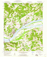
Editions of this 1959 Rosiclare Map
2 editions found
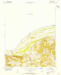
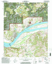
Historical Maps of Rosiclare Through Time
8 maps found
Featured Locations
Source Details
SourceU.S. Geological Survey
CopyrightPublic Domain