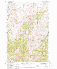
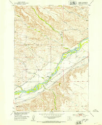
1954 Map of Ross Canyon
USGS Topo · Published 1988About this map
The Boulder River carves through this northern Montana landscape, where the irrigation infrastructure of the Sweet Grass Ditch and other unnamed ditches parallels the river's course to support the high ground of McKenzie Flats. The map highlights a distinct transition from the lower river valley to the steep, dissected terrain of the Gallatin National Forest, which covers the southern half of the quadrangle. High-elevation points like Red Mountain and Black Butte overlook a complex network of canyons and gulches, including Ross Canyon and Baker Canyon. Evidence of early industrial activity is found near the center of the sheet at the Calcite Mine (Inactive), while local landmarks such as Eightmile Bridge and Ross Spring indicate the essential role of water access for travelers and livestock in this environment.
Find a feature on this map
38 named features on this map. Tap any name to fly to it.
Don’t see what you’re looking for? This feature index may not catch every label — zoom into the map to look around manually.
Map Details
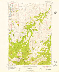
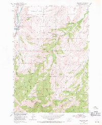
Editions of this 1954 Ross Canyon Map
3 editions found
Other maps of this area

1891 · Livingston
USGS Topo · 1:250,000

1891 · Big Timber
USGS Topo · 1:125,000

1893 · Livingston
USGS Topo · 1:250,000

1893 · Big Timber
USGS Topo · 1:125,000

1947 · Bozeman
USGS Topo · 1:250,000

1948 · Bozeman
USGS Topo · 1:250,000

1951 · Squaw Peak
USGS Topo · 1:24,000
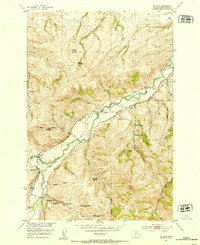
1951 · Mc Leod
USGS Topo · 1:24,000
1951 · Carney
USGS Topo · 1:24,000

1954 · Big Timber
USGS Topo · 1:24,000