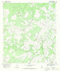
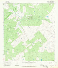
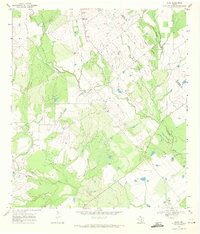
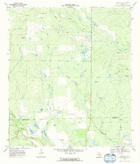
1968 Map of Rossville
USGS Topo · Published 1971This historical map portrays the area of Rossville in 1968, primarily covering Atascosa County. Featuring a scale of 1:24000, this map provides a highly detailed snapshot of the terrain, roads, buildings, counties, and historical landmarks in the Rossville region at the time. Published in 1971, it is one of 2 known editions of this map due to revisions or reprints.
Find a feature on this map
28 named features on this map. Tap any name to fly to it.
Don’t see what you’re looking for? This feature index may not catch every label — zoom into the map to look around manually.
Map Details
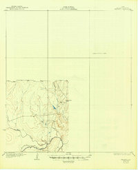
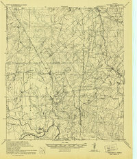
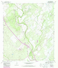
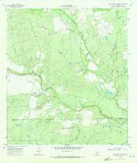
Editions of this 1968 Rossville Map
2 editions found
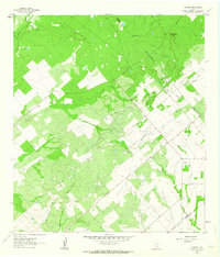
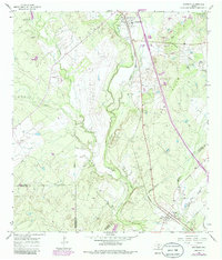
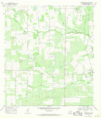
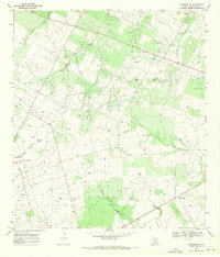
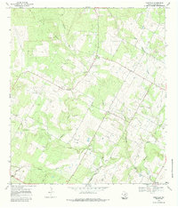
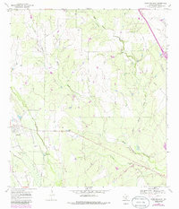
Historical Maps of Atascosa County Through Time
13 maps found
1930 Whitsett
Atascosa County, TX
1942 Whitsett
Atascosa County, TX
1961 Fashing
Atascosa County, TX
1965 Caballos Creek
Atascosa County, TX
1965 Whitsett
Atascosa County, TX
1968 Christine West
Atascosa County, TX
1968 Dobrowolski
Atascosa County, TX
1968 Leal
Atascosa County, TX
1968 McCoy
Atascosa County, TX
1968 Rossville
Atascosa County, TX
1969 Christine East
Atascosa County, TX
1969 Cross NE
Atascosa County, TX
1969 San Miguel Ranch
Atascosa County, TX