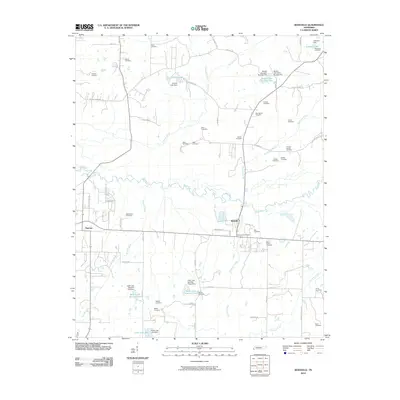
2010 Map of Rossville
USGS Topo · Published 2010About this map
The Wolf River meanders across this West Tennessee landscape, defining the character of Fayette County south of the Raleigh Lagrange Dr corridor. The area is anchored by the historic railroad town of Rossville, where the Rossville Post Office sits near a dense concentration of local family history markers. Dozens of small family and community burial grounds are scattered across the terrain, including Anthony Cemetery, New Bethel Cemetery, and Thomas Chapel Cemetery, providing valuable data points for genealogists. To the west, the growing community of Piperton is situated near the Mount Zion Cemetery. The landscape is further marked by a series of private water features such as Church Lake, Mustin Lake Number One, and Keith Lake Number One, each supported by localized dams along the tributaries of Shaws Creek and Russell Creek.
Find a feature on this map
64 named features on this map. Tap any name to fly to it.
Don’t see what you’re looking for? This feature index may not catch every label — zoom into the map to look around manually.
Map Details
Editions of this 2010 Rossville Map
This is the sole edition of this map. No revisions or reprints were ever made.
Other maps of this area

1943 · Collierville
USGS Topo · 1:62,500

1948 · Byhalia
USGS Topo · 1:62,500

1949 · Moscow
USGS Topo · 1:62,500

1953 · Holly Springs
USGS Topo · 1:62,500

1953 · Collierville
USGS Topo · 1:50,000

1956 · Blytheville
USGS Topo · 1:250,000

1956 · Tupelo
USGS Topo · 1:250,000

1958 · Tupelo
USGS Topo · 1:250,000

1959 · Blytheville
USGS Topo · 1:250,000

1965 · Rossville
USGS Topo · 1:24,000