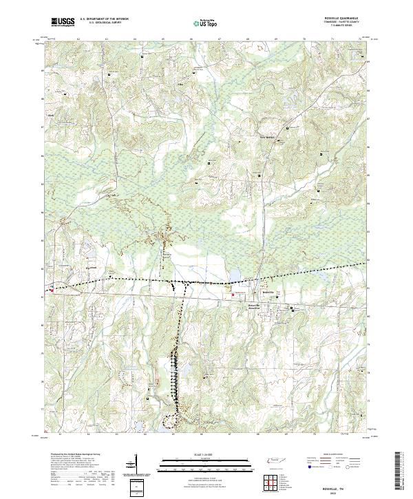
2022 Map of Rossville
USGS Topo · Published 2022About this map
The Wolf River floodplain dominates this portion of Fayette County, creating a complex landscape of wetlands and secondary waterways like Running Slough and Lily Lake. The topography is defined by the river’s winding course and the numerous small tributaries that feed into it, including Shaws Cr and Hurricane Cr. This environmental character historically influenced the placement of settlements like Rossville and Piperton, which developed along higher ground or near critical transportation crossings.
Find a feature on this map
111 named features on this map. Tap any name to fly to it.
Don’t see what you’re looking for? This feature index may not catch every label — zoom into the map to look around manually.
Map Details
Editions of this 2022 Rossville Map
This is the sole edition of this map. No revisions or reprints were ever made.
Other maps of this area

1943 · Collierville
USGS Topo · 1:62,500

1948 · Byhalia
USGS Topo · 1:62,500

1949 · Moscow
USGS Topo · 1:62,500

1953 · Holly Springs
USGS Topo · 1:62,500

1953 · Collierville
USGS Topo · 1:50,000

1956 · Blytheville
USGS Topo · 1:250,000

1956 · Tupelo
USGS Topo · 1:250,000

1958 · Tupelo
USGS Topo · 1:250,000

1959 · Blytheville
USGS Topo · 1:250,000

1965 · Rossville
USGS Topo · 1:24,000