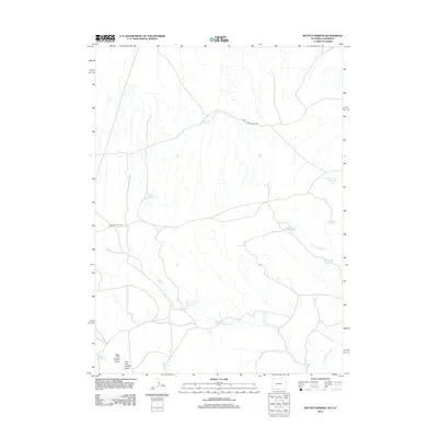
2012 Map of Rotten Springs
USGS Topo · Published 2012About this map
Rotten Springs and its surrounding water sources define this high-desert landscape in Sweetwater County, Wyoming. The terrain is marked by a complex network of seasonal drainages, including the West Fork Anthill Draw and the various branches of the W Fork Cherokee Cr. This 2012 survey illustrates the vital role of water management in the region, featuring numerous man-made catchments such as Chimney Reservoir, Short Wash Reservoir, and Rock Ridge Reservoir.
Find a feature on this map
16 named features on this map. Tap any name to fly to it.
Don’t see what you’re looking for? This feature index may not catch every label — zoom into the map to look around manually.
Map Details
Editions of this 2012 Rotten Springs Map
This is the sole edition of this map. No revisions or reprints were ever made.
Other maps of this area

1916 · Craig
USGS Topo · 1:125,000

1954 · Vernal
USGS Topo · 1:250,000

1954 · Rawlins
USGS Topo · 1:250,000

1954 · Rock Springs
USGS Topo · 1:250,000

1954 · Craig
USGS Topo · 1:250,000

1957 · Craig
USGS Topo · 1:250,000

1958 · Rawlins
USGS Topo · 1:250,000

1958 · Vernal
USGS Topo · 1:250,000

1958 · Rock Springs
USGS Topo · 1:250,000

1958 · Craig
USGS Topo · 1:250,000