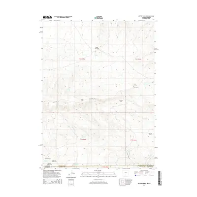
2015 Map of Rotten Springs
USGS Topo · Published 2015About this map
The high desert terrain of the Wyoming-Colorado border is documented here, defined by the drainage systems and seasonal water sources essential for livestock and travel. Running across the central portion of the map is the historic Cherokee Trail Rd, a significant corridor through this arid landscape. This route follows the contours of Powder Rim and passes through the Cherokee Draw area, reflecting the long-standing reliance on these natural pathways.
Find a feature on this map
25 named features on this map. Tap any name to fly to it.
Don’t see what you’re looking for? This feature index may not catch every label — zoom into the map to look around manually.
Map Details
Editions of this 2015 Rotten Springs Map
This is the sole edition of this map. No revisions or reprints were ever made.
Other maps of this area

1916 · Craig
USGS Topo · 1:125,000

1954 · Vernal
USGS Topo · 1:250,000

1954 · Rawlins
USGS Topo · 1:250,000

1954 · Rock Springs
USGS Topo · 1:250,000

1954 · Craig
USGS Topo · 1:250,000

1957 · Craig
USGS Topo · 1:250,000

1958 · Rawlins
USGS Topo · 1:250,000

1958 · Vernal
USGS Topo · 1:250,000

1958 · Rock Springs
USGS Topo · 1:250,000

1958 · Craig
USGS Topo · 1:250,000