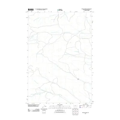
2011 Map of Rough Draw
USGS Topo · Published 2011About this map
The drainage systems of West Fork Armells Creek and East Fork Armells Creek define this rural portion of Rosebud County. This Montana landscape is largely shaped by its hydrology, where several named springs, such as 01N40E19DCCD01 Spring and 01S39E12DCBA01 Spring, provide critical water points in an otherwise arid region. The terrain is marked by the namesake Rough Draw in the southeast, a feature that highlights the dissected nature of the local topography.
Find a feature on this map
12 named features on this map. Tap any name to fly to it.
Don’t see what you’re looking for? This feature index may not catch every label — zoom into the map to look around manually.
Map Details
Editions of this 2011 Rough Draw Map
This is the sole edition of this map. No revisions or reprints were ever made.
Other maps of this area

1954 · Hardin
USGS Topo · 1:250,000

1957 · Hardin
USGS Topo · 1:250,000

1958 · Hardin
USGS Topo · 1:250,000

1958 · Chalky Point
USGS Topo · 1:24,000

1958 · Jimtown
USGS Topo · 1:24,000

1958 · Black Spring
USGS Topo · 1:24,000

1971 · Trail Creek School
USGS Topo · 1:24,000

1971 · Colstrip SW
USGS Topo · 1:24,000

1971 · Mc Clure Creek
USGS Topo · 1:24,000

1971 · Rough Draw
USGS Topo · 1:24,000