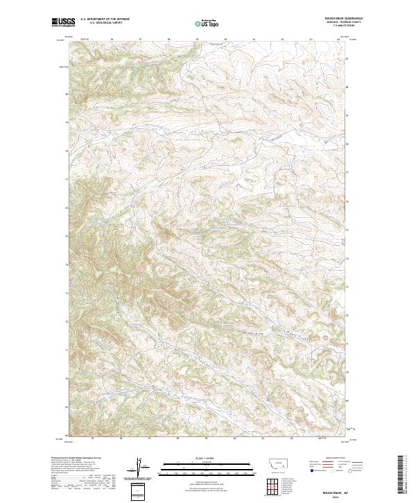
2024 Map of Rough Draw
USGS Topo · Published 2024About this map
The Little Wolf Mountains dominate this high-plains landscape in Rosebud County, where the terrain is carved by a complex network of ephemeral drainages and perennial springs. The drainage patterns of West Fork Armells Creek and East Fork Armells Creek characterize the northern reaches, while the southern portion of the sheet is defined by the winding course of Slough Grass Creek. This area of eastern Montana is marked by significant topographical relief, transitioning from the higher elevations of the mountains down through the eponymous Rough Draw and Rape Coulee. Transportation in this rural expanse is limited to a few established routes such as Castle Rock Rd and Farley Loop Rd, which navigate the various ridgelines and township boundaries. The numerous mapped springs, including the 01N40E19DCCD01 Spring, suggest the critical importance of reliable water sources in this dry, elevated ranching environment.
Find a feature on this map
21 named features on this map. Tap any name to fly to it.
Don’t see what you’re looking for? This feature index may not catch every label — zoom into the map to look around manually.
Map Details
Editions of this 2024 Rough Draw Map
This is the sole edition of this map. No revisions or reprints were ever made.
Other maps of this area

1954 · Hardin
USGS Topo · 1:250,000

1957 · Hardin
USGS Topo · 1:250,000

1958 · Hardin
USGS Topo · 1:250,000

1958 · Chalky Point
USGS Topo · 1:24,000

1958 · Jimtown
USGS Topo · 1:24,000

1958 · Black Spring
USGS Topo · 1:24,000

1971 · Trail Creek School
USGS Topo · 1:24,000

1971 · Colstrip SW
USGS Topo · 1:24,000

1971 · Mc Clure Creek
USGS Topo · 1:24,000

1971 · Rough Draw
USGS Topo · 1:24,000