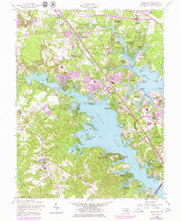
1956 Map of Round Bay
USGS Topo · Published 1979About this map
The Severn River and Magothy River carve through the coastal landscape of central Anne Arundel County, defining a region of dense shoreline communities and established institutions. The map highlights the extensive grounds of the Crownsville State Hospital and the nearby Bacon Ridge, while the Baltimore and Annapolis line facilitates transport through the corridor.
Find a feature on this map
110 named features on this map. Tap any name to fly to it.
Don’t see what you’re looking for? This feature index may not catch every label — zoom into the map to look around manually.
Map Details
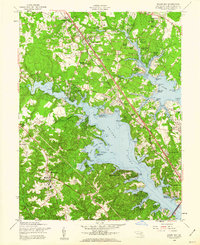
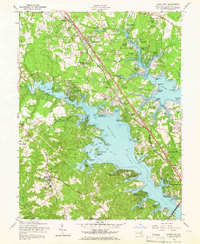
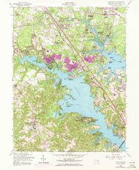
Editions of this 1956 Round Bay Map
4 editions found
Other maps of this area

1892 · Owensville
USGS Topo · 1:62,500

1892 · Annapolis
USGS Topo · 1:62,500

1893 · North Point
USGS Topo · 1:62,500

1894 · Relay
USGS Topo · 1:62,500

1895 · Owensville
USGS Topo · 1:62,500

1898 · Choptank
USGS Topo · 1:125,000

1898 · Tolchester
USGS Topo · 1:125,000

1899 · Patuxent
USGS Topo · 1:125,000

1903 · Tolchester
USGS Topo · 1:125,000

1904 · North Point
USGS Topo · 1:62,500