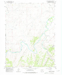
1966 Map of Round Bottom
USGS Topo · Published 1975About this map
The Yampa River carves a dramatic oxbow through this high desert landscape, defining the geographic feature known as Round Bottom. In the mid-1960s, this section of Moffat County was characterized by resource extraction and rugged terrain, with the Williams Fork Mountains and Iles Mountain rising above the river valley. The confluence of the Williams Fork and the main river serves as a focal point for the region's topography, while the uplands are marked by numerous gulches and draws including Sulphur Gulch and Post Oak Draw.
Find a feature on this map
27 named features on this map. Tap any name to fly to it.
Don’t see what you’re looking for? This feature index may not catch every label — zoom into the map to look around manually.
Map Details
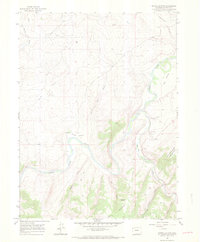
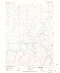
Editions of this 1966 Round Bottom Map
3 editions found
Other maps of this area

1910 · Danforth Hills
USGS Topo · 1:125,000

1912 · Axial
USGS Topo · 1:62,500

1914 · Axial
USGS Topo · 1:62,500

1915 · Monument Butte
USGS Topo · 1:62,500

1916 · Craig
USGS Topo · 1:125,000

1954 · Craig
USGS Topo · 1:250,000

1957 · Craig
USGS Topo · 1:250,000

1958 · Craig
USGS Topo · 1:250,000

1960 · Craig
USGS Topo · 1:250,000

1962 · Craig
USGS Topo · 1:250,000