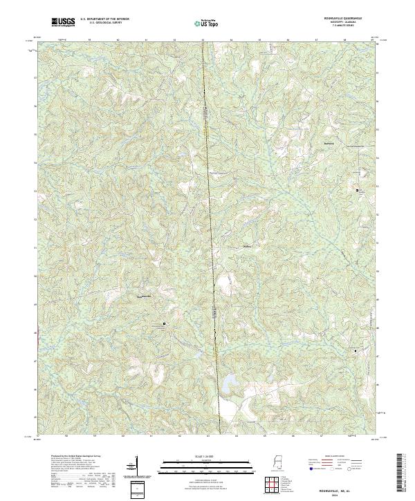
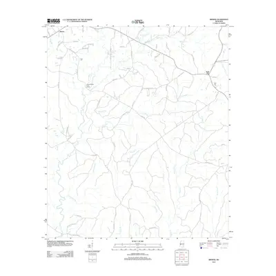
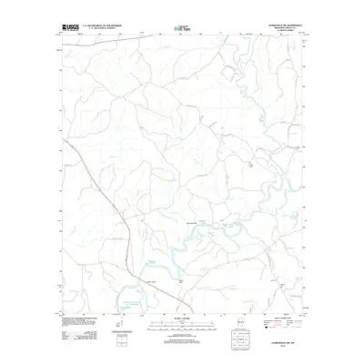
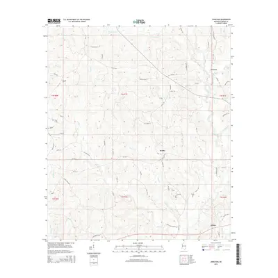
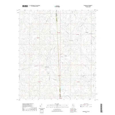
2024 Map of Rounsaville
USGS Topo · Published 2024About this map
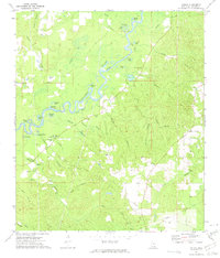
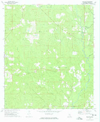
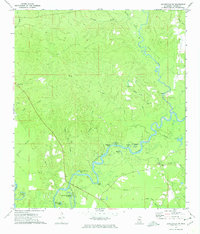
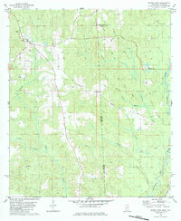
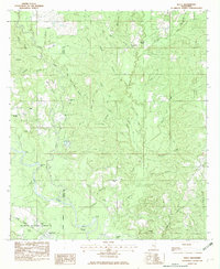
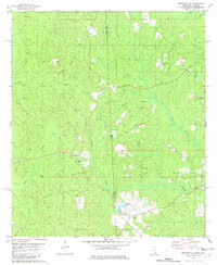
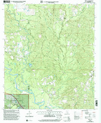
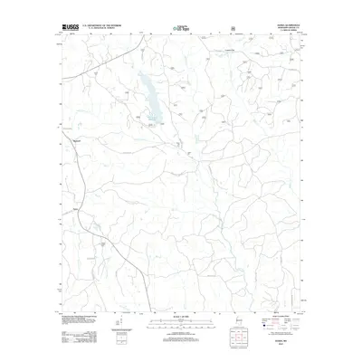
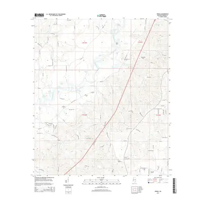
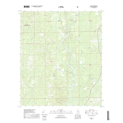
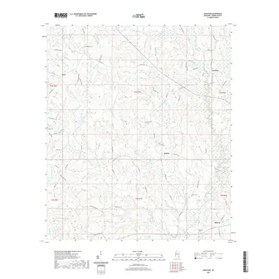
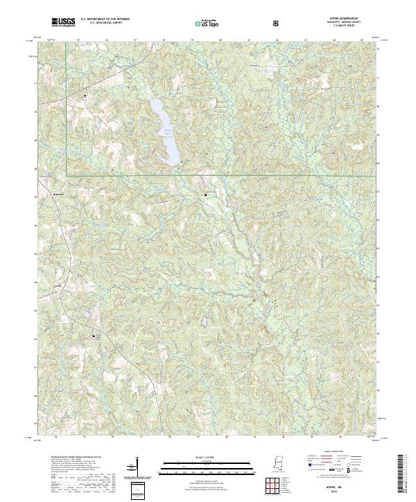
The borderlands of Greene and Washington Counties are defined here by a network of creeks and timber-lined hollows where the Mississippi and Alabama state lines meet. Small rural communities like Rounsaville and Walley anchor the landscape, connected by a web of local roads named for prominent area families, such as Henry Walley Rd and Jay Shepherd Rd. The terrain is characterized by winding drainage systems including Christmas Branch, Okwakee Creek, and Martin Swamp, illustrating the intricate hydrology of the region.
Find a feature on this map
62 named features on this map. Tap any name to fly to it.
Don’t see what you’re looking for? This feature index may not catch every label — zoom into the map to look around manually.
Map Details
Editions of this 2024 Rounsaville Map
This is the sole edition of this map. No revisions or reprints were ever made.
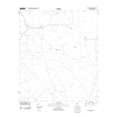
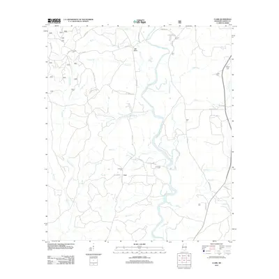
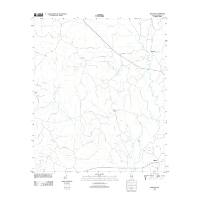
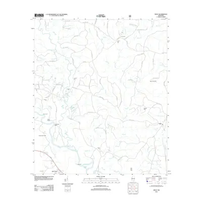
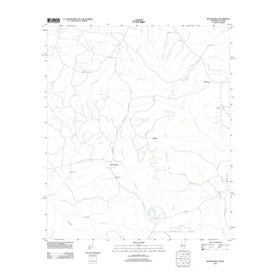
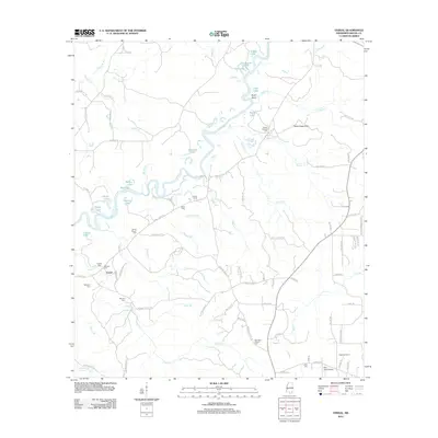
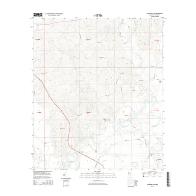
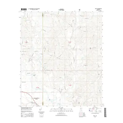
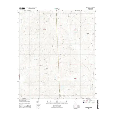
Historical Maps of Rounsaville Through Time
55 maps found
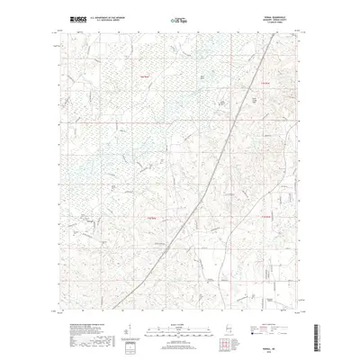
1963 Brewer
Greene County, MS
1964 Avera
Greene County, MS
1964 Clark
Greene County, MS
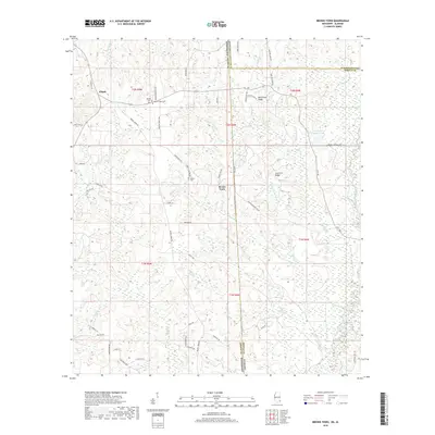
1972 Vernal
Greene County, MS
1973 Jonathan
Greene County, MS
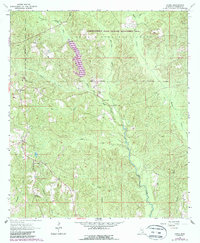
1973 Leakesville SW
Greene County, MS
1982 Brown Town
Greene County, MS
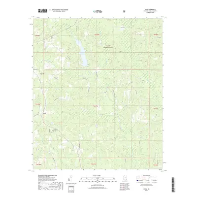
1982 Neely
Greene County, MS
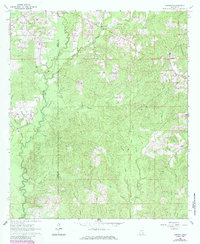
1982 Rounsaville
Greene County, MS
2000 Neely
Greene County, MS
2012 Avera
Greene County, MS
2012 Brewer
Greene County, MS
2012 Brown Town
Greene County, MS
2012 Clark
Greene County, MS
2012 Jonathan
Greene County, MS
2012 Leakesville SW
Greene County, MS
2012 Neely
Greene County, MS
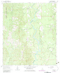
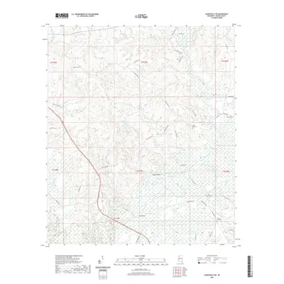
2012 Rounsaville
Greene County, MS
2012 Vernal
Greene County, MS
2015 Avera
Greene County, MS
2015 Brewer
Greene County, MS
2015 Brown Town
Greene County, MS
2015 Clark
Greene County, MS
2015 Jonathan
Greene County, MS
2015 Leakesville SW
Greene County, MS
2015 Neely
Greene County, MS
2015 Rounsaville
Greene County, MS
2015 Vernal
Greene County, MS
2018 Avera
Greene County, MS
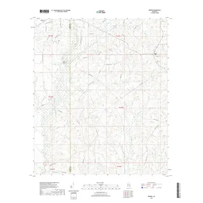
2018 Brewer
Greene County, MS
2018 Brown Town
Greene County, MS
2018 Clark
Greene County, MS
2018 Jonathan
Greene County, MS
2018 Leakesville SW
Greene County, MS
2018 Neely
Greene County, MS
2018 Rounsaville
Greene County, MS
2018 Vernal
Greene County, MS
2020 Brewer
Greene County, MS
2020 Brown Town
Greene County, MS
2020 Jonathan
Greene County, MS
2020 Leakesville SW
Greene County, MS
2020 Rounsaville
Greene County, MS
2020 Vernal
Greene County, MS
2021 Avera
Greene County, MS
2021 Clark
Greene County, MS
2021 Neely
Greene County, MS
2024 Avera
Greene County, MS
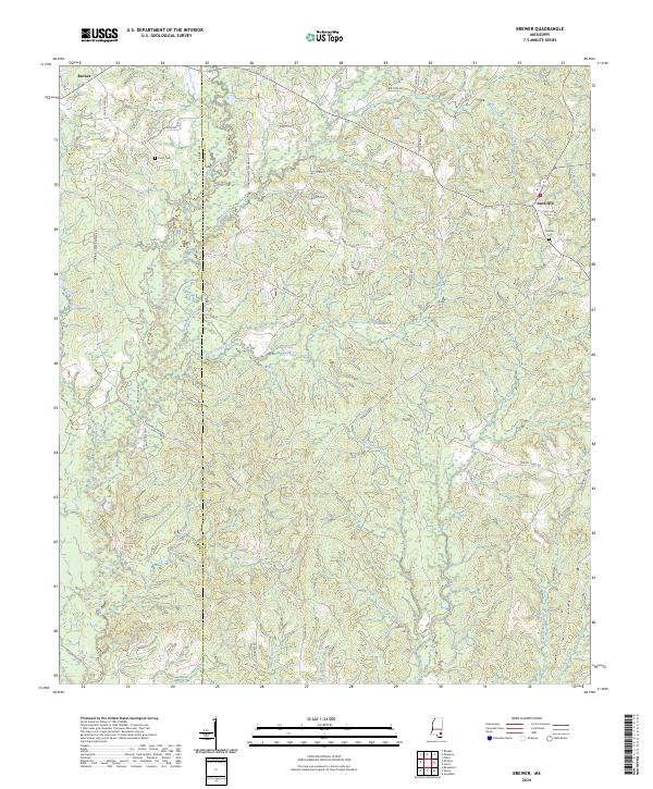
2024 Brewer
Greene County, MS
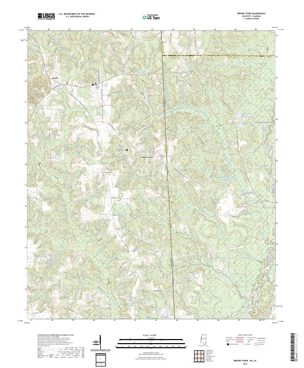
2024 Brown Town
Greene County, MS
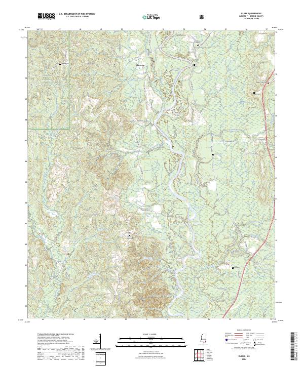
2024 Clark
Greene County, MS
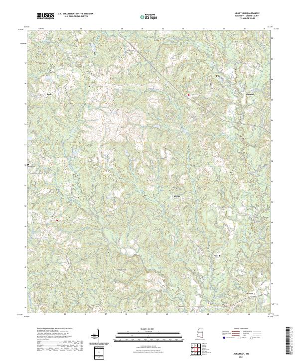
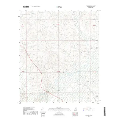
2024 Jonathan
Greene County, MS
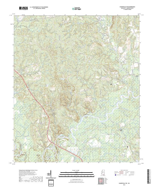
2024 Leakesville SW
Greene County, MS
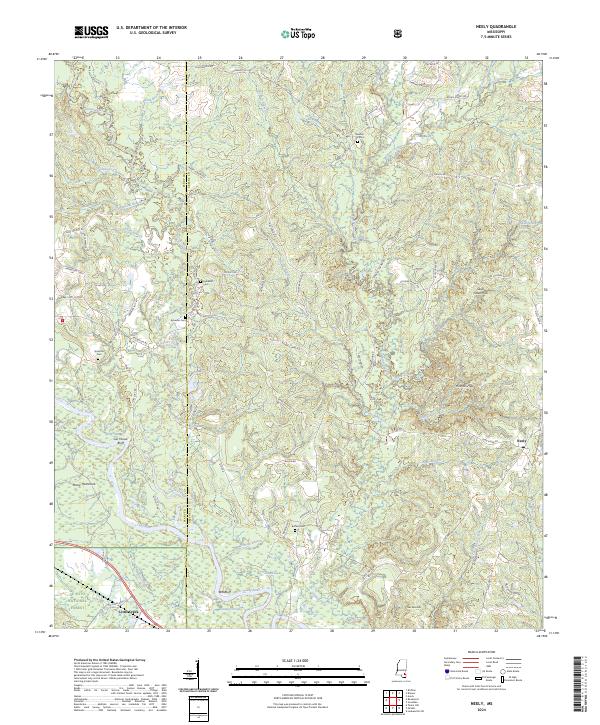
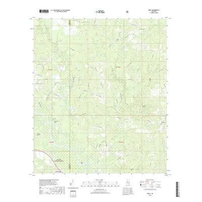
2024 Neely
Greene County, MS
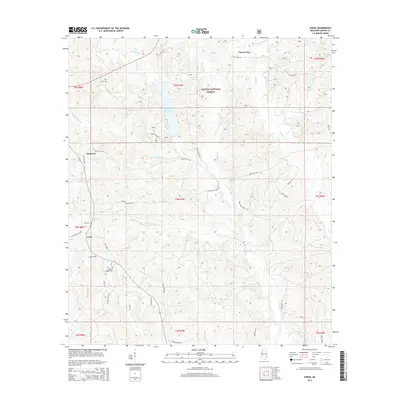
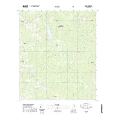
2024 Rounsaville
Greene County, MS
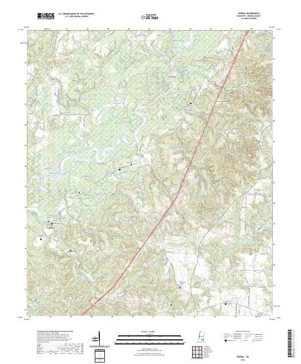
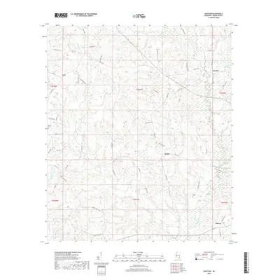
2024 Vernal
Greene County, MS