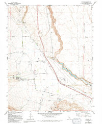
1983 Map of Rovana
USGS Topo · Published 1994About this map
Round Valley serves as a central transition point in this landscape, where the high Sierra slopes meet the eastern basin floor. Small residential clusters like Rovana and Alta Vista are established near the base of the mountains, supported by a network of water and power infrastructure. The Owens River Gorge dominates the eastern section, with its Powerhouse and Surge Tank indicating the critical role of hydroelectric management. This area is heavily defined by its industrial and agricultural utility, from the Sewage Disposal Pond facilities to the numerous livestock enclosures and Corrals found along Birchim Lane and Pine Creek Road.
Find a feature on this map
47 named features on this map. Tap any name to fly to it.
Don’t see what you’re looking for? This feature index may not catch every label — zoom into the map to look around manually.
Map Details
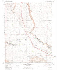
Editions of this 1983 Rovana Map
2 editions found
Other maps of this area

1912 · Mt. Goddard
USGS Topo · 1:125,000

1913 · Bishop
USGS Topo · 1:125,000

1914 · Mt. Morrison
USGS Topo · 1:125,000

1917 · White Mountain
USGS Topo · 1:125,000

1947 · Mariposa
USGS Topo · 1:250,000

1948 · Mariposa
USGS Topo · 1:250,000

1949 · Mt. Tom
USGS Topo · 1:62,500

1949 · Bishop
USGS Topo · 1:62,500

1951 · Mt. Tom
USGS Topo · 1:62,500

1951 · Bishop
USGS Topo · 1:62,500