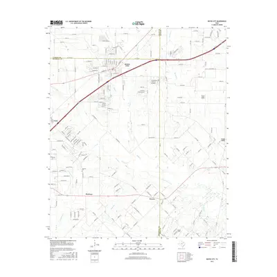
2016 Map of Royse City
USGS Topo · Published 2016About this map
Royse City sits at the northern edge of Rockwall County, serving as a primary hub where the terrain transitions from the developed corridors near the interstate to the creek-fed agricultural lands of the East Texas prairies. This 2016 survey captures the area during a period of modern expansion, while still preserving the footprints of older rural communities like Blackland and Munson. The landscape is defined by its complex drainage network, where Sabine Creek and the S Fork Sabine River carve paths through the rolling topography. Local history is anchored by sites such as the Blackland Cem, while the outlying settlement of Union Valley marks the eastern boundary. The intricate web of named water bodies, including Klutts Br and Bearpen Creek, illustrates how the local hydrology shaped original land divisions and road placement long before the arrival of modern thoroughfares.
Find a feature on this map
164 named features on this map. Tap any name to fly to it.
Don’t see what you’re looking for? This feature index may not catch every label — zoom into the map to look around manually.
Map Details
Editions of this 2016 Royse City Map
This is the sole edition of this map. No revisions or reprints were ever made.
Other maps of this area

1912 · Rockwall
USGS Topo · 1:31,680

1919 · Royse City
USGS Topo · 1:62,500

1924 · Farmersville 3-c
USGS Topo · 1:48,000

1930 · Farmersville
USGS Topo · 1:62,500

1954 · Dallas
USGS Topo · 1:250,000

1954 · Sherman
USGS Topo · 1:250,000

1956 · Quinlan
USGS Topo · 1:62,500

1958 · Dallas
USGS Topo · 1:250,000

1958 · Sherman
USGS Topo · 1:250,000

1962 · Greenville SW
USGS Topo · 1:24,000