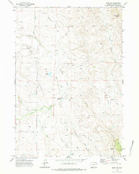
1971 Map of Rozet NW
USGS Topo · Published 1985About this map
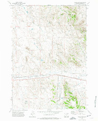
Cottonwood Creek and its many branches, including the West Fork Cottonwood Creek and Jiggs Cottonwood Creek, define the drainage patterns of this Campbell County landscape in the early 1970s. The region is characterized by an active energy and ranching economy, marked by numerous Oil Wells, Drill Holes, and a prominent Pipeline. Small-scale water management is evident through features like School Reservoir, Cliff White Reservoir, and Jiggs Res, which likely served livestock or local operations in this semi-arid environment. To the northeast, Wagonhammer Butte stands as a significant topographic landmark, while the southern reaches are bordered by Little Pine Ridge. Transportation is facilitated by the Garner Lake Road and Miller Creek Road, connecting the various draws and creek beds that crisscross the terrain.
Find a feature on this map
26 named features on this map. Tap any name to fly to it.
Don’t see what you’re looking for? This feature index may not catch every label — zoom into the map to look around manually.
Map Details
Editions of this 1971 Rozet NW Map
2 editions found
Other maps of this area

1954 · Gillette
USGS Topo · 1:250,000

1955 · Gillette
USGS Topo · 1:250,000

1958 · Gillette
USGS Topo · 1:250,000

1962 · Gillette
USGS Topo · 1:250,000

1971 · Rozet
USGS Topo · 1:24,000
1971 · Rozet SE
USGS Topo · 1:24,000
1971 · Rozet NE
USGS Topo · 1:24,000
1971 · Rozet NW
USGS Topo · 1:24,000

1971 · Green Hill
USGS Topo · 1:24,000
1971 · Fortin Draw
USGS Topo · 1:24,000