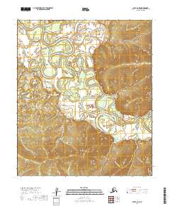
2019 Map of Ruby B-3 NE
USGS Topo · Published 2019About this map
The Nowitna River dominates this interior landscape, winding in a complex series of tight oxbows and meanders through the Yukon-Koyukuk region. This environment is defined by its dramatic water-level shifts and shifting channels, where the main river body is joined by tributaries including the Little Mud River and Lost River. The map illustrates a largely uninhabited wilderness, structured primarily by the Public Land Survey System lines such as t11s r23e and t12s r24e. The dense contour lines in the eastern and southern portions of the quadrangle indicate significant elevation changes rising away from the river valley, providing a clear picture of the drainage patterns and topographic relief of this part of the Alaskan interior in the early twenty-first century.
Find a feature on this map
10 named features on this map. Tap any name to fly to it.
Don’t see what you’re looking for? This feature index may not catch every label — zoom into the map to look around manually.
Map Details
Editions of this 2019 Ruby B-3 NE Map
This is the sole edition of this map. No revisions or reprints were ever made.
Other maps of this area

1951 · Ruby
USGS Topo · 1:250,000

1952 · Ruby B-2
USGS Topo · 1:63,360

1952 · Ruby C-3
USGS Topo · 1:63,360

1952 · Ruby C-2
USGS Topo · 1:63,360

1952 · Ruby B-3
USGS Topo · 1:63,360

1952 · Ruby
USGS Topo · 1:250,000
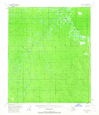
1953 · Ruby B-3
USGS Topo · 1:63,360

1964 · Ruby
USGS Topo · 1:250,000
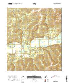
2019 · Ruby B-2 NW
USGS Topo · 1:25,000
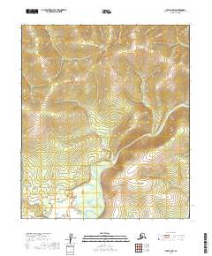
2019 · Ruby B-2 SW
USGS Topo · 1:25,000