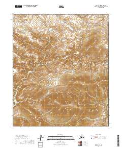
2019 Map of Ruby C-1 NE
USGS Topo · Published 2019About this map
Grand Creek cuts through this interior landscape in the Yukon-Koyukuk Census Area, flowing across a series of surveyed townships including t9s r29e and t8s r29e. The terrain is characterized by complex contour elevations that define numerous high ridges and valleys, illustrating the drainage patterns of the region before any modern industrial footprint. This particular section of the Alaska interior remains largely undeveloped, showcasing the raw topography as documented by the U.S. Geological Survey using modern elevation datasets. The map provides a high-resolution view of the natural landforms that have dictated travel and seasonal movement through this remote territory for generations.
Find a feature on this map
9 named features on this map. Tap any name to fly to it.
Don’t see what you’re looking for? This feature index may not catch every label — zoom into the map to look around manually.
Map Details
Editions of this 2019 Ruby C-1 NE Map
This is the sole edition of this map. No revisions or reprints were ever made.
Other maps of this area

1948 · Kantishna River
USGS Topo · 1:250,000

1951 · Kantishna River
USGS Topo · 1:250,000

1951 · Ruby
USGS Topo · 1:250,000

1952 · Ruby C-1
USGS Topo · 1:63,360

1952 · Kantishna River C-6
USGS Topo · 1:63,360

1952 · Ruby D-1
USGS Topo · 1:63,360

1952 · Kantishna River
USGS Topo · 1:250,000

1952 · Kantishna River D-6
USGS Topo · 1:63,360

1952 · Ruby
USGS Topo · 1:250,000

1964 · Kantishna River
USGS Topo · 1:250,000