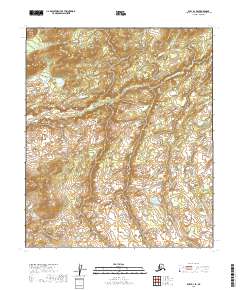
2019 Map of Ruby D-1 SE
USGS Topo · Published 2019About this map
Little Mud River winds through this interior Alaskan wilderness, forming the central geographic feature of a landscape defined by its subtle drainage patterns and seasonal wetlands. Surveyed in the early twenty-first century, the map details a region where the meandering river system creates a complex network of oxbows and marshlands across the Yukon-Koyukuk Census Area. The lack of roads or permanent settlements within these townships emphasizes the isolation of the territory, which remains dominated by the natural shifts of the waterway. This documentation by the U.S. Geological Survey provides a precise topographical record of the river's course as it navigates the low-lying terrain, offering a specialized look at the hydrology of the Alaskan interior before any modern development or infrastructure altered the corridor.
Find a feature on this map
8 named features on this map. Tap any name to fly to it.
Don’t see what you’re looking for? This feature index may not catch every label — zoom into the map to look around manually.
Map Details
Editions of this 2019 Ruby D-1 SE Map
This is the sole edition of this map. No revisions or reprints were ever made.
Other maps of this area

1948 · Kantishna River
USGS Topo · 1:250,000

1951 · Kantishna River
USGS Topo · 1:250,000

1951 · Ruby
USGS Topo · 1:250,000

1952 · Ruby C-1
USGS Topo · 1:63,360

1952 · Kantishna River C-6
USGS Topo · 1:63,360

1952 · Ruby D-1
USGS Topo · 1:63,360

1952 · Kantishna River
USGS Topo · 1:250,000

1952 · Kantishna River D-6
USGS Topo · 1:63,360

1952 · Ruby
USGS Topo · 1:250,000

1964 · Kantishna River
USGS Topo · 1:250,000