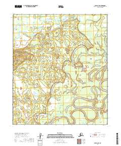
2019 Map of Ruby D-3 SW
USGS Topo · Published 2019About this map
The Nowitna River meanders heavily through this interior landscape, creating a complex system of oxbows and abandoned channels across the river basin. The terrain is defined by the shifting course of the water, where the river's slow progress across the lowlands has left behind numerous loops and bends in the southern portion of the region. To the north, Junekaket Creek flows through the territory, contributing to the drainage of this vast wetland and woodland environment. This area within the Yukon-Koyukuk region is characterized by its hydrological patterns and the absence of established road networks or permanent settlements, emphasizing the dominance of the river system over the local geography. The grid of township and range lines, including t8s r22e and t7s r23e, provides the primary structural reference for this remote Alaskan wilderness.
Find a feature on this map
42 named features on this map. Tap any name to fly to it.
Don’t see what you’re looking for? This feature index may not catch every label — zoom into the map to look around manually.
Map Details
Editions of this 2019 Ruby D-3 SW Map
This is the sole edition of this map. No revisions or reprints were ever made.
Other maps of this area

1951 · Ruby
USGS Topo · 1:250,000

1952 · Ruby D-4
USGS Topo · 1:63,360

1952 · Ruby C-3
USGS Topo · 1:63,360

1952 · Ruby D-3
USGS Topo · 1:63,360

1952 · Ruby C-4
USGS Topo · 1:63,360

1952 · Ruby
USGS Topo · 1:250,000
1953 · Ruby D-4
USGS Topo · 1:63,360

1964 · Ruby
USGS Topo · 1:250,000
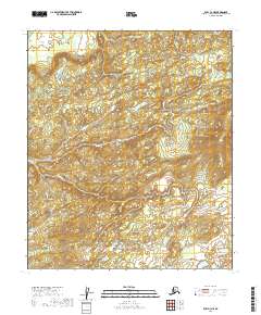
2019 · Ruby C-3 NE
USGS Topo · 1:25,000
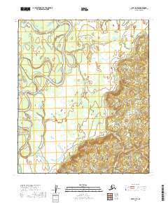
2019 · Ruby D-3 SE
USGS Topo · 1:25,000