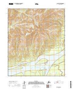
2019 Map of Ruby D-4 NW
USGS Topo · Published 2019About this map
The Yukon River dominates the southern landscape of this territory, carving a complex network of waterways and islands. Among the significant riverine features are Fox Island, Dasha Island, and Kit Island, which are separated by a system of side-channels including Hot Springs Slough and Junekaket Slough. This fluvial environment suggests a dynamic landscape of shifting gravel bars and seasonal water level changes, characteristic of the interior Alaskan river systems.
Find a feature on this map
17 named features on this map. Tap any name to fly to it.
Don’t see what you’re looking for? This feature index may not catch every label — zoom into the map to look around manually.
Map Details
Editions of this 2019 Ruby D-4 NW Map
This is the sole edition of this map. No revisions or reprints were ever made.
Other maps of this area

1951 · Ruby
USGS Topo · 1:250,000

1951 · Melozitna
USGS Topo · 1:250,000

1952 · Ruby D-4
USGS Topo · 1:63,360

1952 · Ruby D-5
USGS Topo · 1:63,360

1952 · Ruby
USGS Topo · 1:250,000

1953 · Melozitna A-4
USGS Topo · 1:63,360
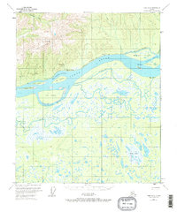
1953 · Ruby D-4
USGS Topo · 1:63,360
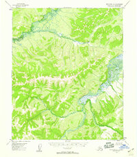
1954 · Melozitna A-5
USGS Topo · 1:63,360

1956 · Melozitna
USGS Topo · 1:250,000

1964 · Ruby
USGS Topo · 1:250,000