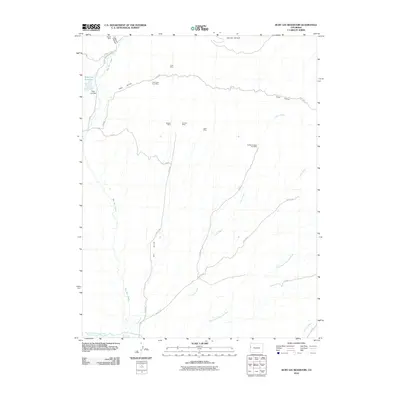
2010 Map of Ruby Lee Reservoir
USGS Topo · Published 2010About this map
Ruby Lee Reservoir and its associated Ruby Lee Dam anchor the northwest corner of this landscape in Mesa County, where water management and resource extraction define the local geography. The map reveals an extensive history of small-scale mining throughout the rugged drainage basins of Coal Gulch and Layton Wash. Named operations like the Coal Gulch Coal Mine, Garvey Mine, and Anchor Number One Mine are scattered across the high desert terrain, connected by a network of rural roads.
Find a feature on this map
29 named features on this map. Tap any name to fly to it.
Don’t see what you’re looking for? This feature index may not catch every label — zoom into the map to look around manually.
Map Details
Editions of this 2010 Ruby Lee Reservoir Map
This is the sole edition of this map. No revisions or reprints were ever made.
Other maps of this area

1956 · Grand Junction
USGS Topo · 1:250,000

1959 · Grand Junction
USGS Topo · 1:250,000

1960 · Grand Junction
USGS Topo · 1:250,000

1962 · Grand Junction
USGS Topo · 1:250,000

1962 · Fruita
USGS Topo · 1:24,000

1962 · Mack
USGS Topo · 1:24,000

1962 · Corcoran Point
USGS Topo · 1:24,000

1964 · Grand Junction
USGS Topo · 1:250,000

1965 · Grand Junction
USGS Topo · 1:250,000
1968 · Howard Canyon
USGS Topo · 1:24,000