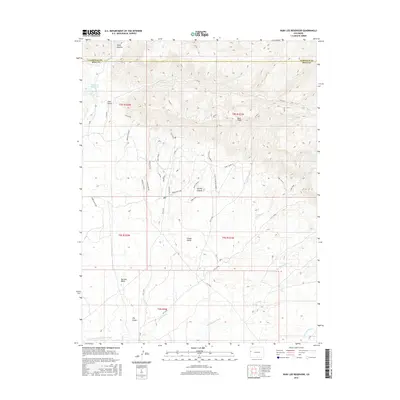
2016 Map of Ruby Lee Reservoir
USGS Topo · Published 2016About this map
Book Cliffs dominate the northern landscape of this region where the high desert meets the irrigated northern edge of the Grand Valley. The map illustrates a complex network of recreational trails and access roads that traverse the ridgelines and drainages, including named paths such as Joe's Ridge, Zippity Do Da, and Chutes & Ladders. These routes navigate the topographic variations between Stove Canyon and the deeply incised Garvey Canyon.
Find a feature on this map
47 named features on this map. Tap any name to fly to it.
Don’t see what you’re looking for? This feature index may not catch every label — zoom into the map to look around manually.
Map Details
Editions of this 2016 Ruby Lee Reservoir Map
This is the sole edition of this map. No revisions or reprints were ever made.
Other maps of this area

1956 · Grand Junction
USGS Topo · 1:250,000

1959 · Grand Junction
USGS Topo · 1:250,000

1960 · Grand Junction
USGS Topo · 1:250,000

1962 · Grand Junction
USGS Topo · 1:250,000

1962 · Fruita
USGS Topo · 1:24,000

1962 · Mack
USGS Topo · 1:24,000

1962 · Corcoran Point
USGS Topo · 1:24,000

1964 · Grand Junction
USGS Topo · 1:250,000

1965 · Grand Junction
USGS Topo · 1:250,000
1968 · Howard Canyon
USGS Topo · 1:24,000