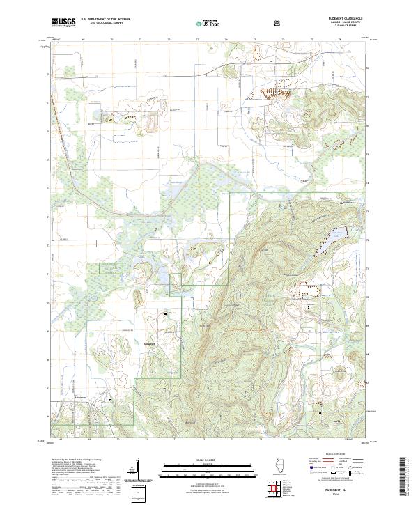
2024 Map of Rudement
USGS Topo · Published 2024About this map
Shawnee National Forest encompasses much of this southern Illinois landscape, where the rugged topography of the Eagle Mountains meets the complex hydrology of the Saline River basin. Small, enduring settlements like Somerset and Rudement anchor the local road network, while the southern reaches of the map are defined by protected lands, including a portion of the Garden of the Gods Wilderness. The map reveals a land shaped by deep hollows and prominent ridges, such as Big Ridge and Bald Knob.
Find a feature on this map
77 named features on this map. Tap any name to fly to it.
Don’t see what you’re looking for? This feature index may not catch every label — zoom into the map to look around manually.
Map Details
Editions of this 2024 Rudement Map
This is the sole edition of this map. No revisions or reprints were ever made.
Other maps of this area

1905 · Eldorado
USGS Topo · 1:62,500

1906 · Eldorado
USGS Topo · 1:62,500

1908 · Galatia
USGS Topo · 1:62,500

1916 · Equality
USGS Topo · 1:62,500

1925 · Harrisburg
USGS Topo · 1:62,500

1938 · Galatia
USGS Topo · 1:62,500

1939 · Harrisburg
USGS Topo · 1:62,500

1949 · Paducah
USGS Topo · 1:250,000

1950 · Paducah
USGS Topo · 1:250,000

1954 · Paducah
USGS Topo · 1:250,000