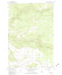
1967 Map of Rudo
USGS Topo · Published 1983About this map
Clearwater National Forest dominates the central portion of this Idaho landscape, where steep drainages and timbered ridges define the terrain north of the Nez Perce Indian Reservation Boundary. In the southern half of the map, the landscape opens into a higher plateau where the settlement of Fraser Grange and the Fraser Park recreation area are situated. Local history is anchored by the Fraser Cem, which sits near the headwaters of Texas Creek.
Find a feature on this map
17 named features on this map. Tap any name to fly to it.
Don’t see what you’re looking for? This feature index may not catch every label — zoom into the map to look around manually.
Map Details
Editions of this 1967 Rudo Map
3 editions found

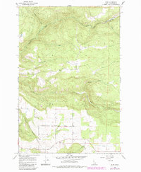
Other maps of this area

1923 · Washington Creek
USGS Topo · 1:125,000

1924 · Kamiah
USGS Topo · 1:125,000

1924 · Weippe
USGS Topo · 1:125,000

1938 · Headquarters
USGS Topo · 1:48,000

1944 · Headquarters
USGS Topo · 1:62,500

1955 · Pullman
USGS Topo · 1:250,000

1956 · Hamilton
USGS Topo · 1:250,000

1958 · Pullman
USGS Topo · 1:250,000

1959 · Hamilton
USGS Topo · 1:250,000

1960 · Hamilton
USGS Topo · 1:250,000