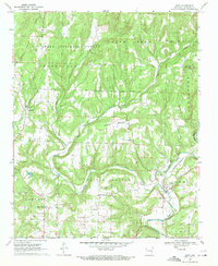
1969 Map of Rudy
USGS Topo · Published 1971About this map
Frog Bayou winds through the southeastern corner of this Crawford County landscape, where the St Louis-San Francisco railroad follows the water's edge through the town of Rudy. Much of the northern terrain is defined by the Ozark National Forest, a heavily wooded region marked by a complex system of drainage including West Cedar Creek and East Cedar Creek. The map documents a rural community structure centered around family-named cemeteries and small churches, such as Kenner Chapel and 81 Church. The transition from the high points of Lancaster Mountain and Winset Mountain down to the creek valleys reveals a pattern of ridge-top roads and valley-floor settlements. For researchers, the presence of numerous burial sites like Winfrey Cem and Oliver Cem offers a clear spatial record of early regional families and local heritage.
Find a feature on this map
37 named features on this map. Tap any name to fly to it.
Don’t see what you’re looking for? This feature index may not catch every label — zoom into the map to look around manually.
Map Details
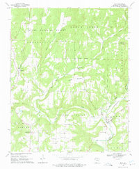
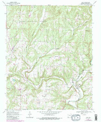
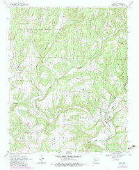
Editions of this 1969 Rudy Map
4 editions found
Other maps of this area

1879 · Fort Smith
USGS Topo · 1:62,500

1887 · Van Buren
USGS Topo · 1:62,500

1890 · Fort Smith
USGS Topo · 1:125,000

1898 · Winslow #4
USGS Topo · 1:62,500

1898 · Winslow #3
USGS Topo · 1:62,500

1898 · Winslow
USGS Topo · 1:125,000

1901 · Winslow
USGS Topo · 1:125,000

1906 · Lavaca
USGS Topo · 1:62,500

1943 · Fort Smith
USGS Topo · 1:125,000

1946 · Fort Smith
USGS Topo · 1:250,000