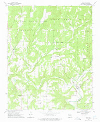
1969 Map of Rudy
USGS Topo · Published 1975About this map
Frog Bayou winds through the southeastern landscape of this Crawford County survey, where the St Louis-San Francisco railroad tracks follow the waterway toward the settlement of Rudy. The map reveals a deeply etched topography of ridges and creek beds, defined by the Ozark National Forest boundary to the north and the prominent Winset Mountain near the center. Small rural communities like Cedarville, Hobbtown, and Figure Five are scattered throughout, each anchored by local landmarks such as Kenner Chapel or the Community Hall.
Find a feature on this map
37 named features on this map. Tap any name to fly to it.
Don’t see what you’re looking for? This feature index may not catch every label — zoom into the map to look around manually.
Map Details
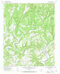
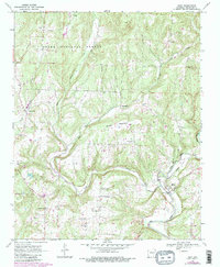
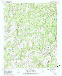
Editions of this 1969 Rudy Map
4 editions found
Other maps of this area

1879 · Fort Smith
USGS Topo · 1:62,500

1887 · Van Buren
USGS Topo · 1:62,500

1890 · Fort Smith
USGS Topo · 1:125,000

1898 · Winslow #4
USGS Topo · 1:62,500

1898 · Winslow #3
USGS Topo · 1:62,500

1898 · Winslow
USGS Topo · 1:125,000

1901 · Winslow
USGS Topo · 1:125,000

1906 · Lavaca
USGS Topo · 1:62,500

1943 · Fort Smith
USGS Topo · 1:125,000

1946 · Fort Smith
USGS Topo · 1:250,000