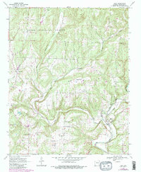
1969 Map of Rudy
USGS Topo · Published 1983About this map
Frog Bayou winds through the southern terrain of Crawford County, anchoring a landscape defined by the winding Cedar Creek and the heights of Winset Mountain. This 1969 survey, updated through the early 1980s, documents the rural infrastructure of the Arkansas Ozarks as it transitioned between eras. The settlement of Rudy sits along the Burlington Northern railroad line, while several family-named communities like Hobbtown and Figure Five dot the hillsides.
Find a feature on this map
35 named features on this map. Tap any name to fly to it.
Don’t see what you’re looking for? This feature index may not catch every label — zoom into the map to look around manually.
Map Details
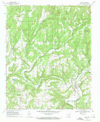
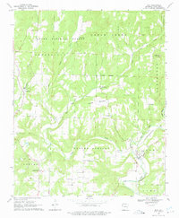
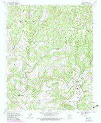
Editions of this 1969 Rudy Map
4 editions found
Other maps of this area

1879 · Fort Smith
USGS Topo · 1:62,500

1887 · Van Buren
USGS Topo · 1:62,500

1890 · Fort Smith
USGS Topo · 1:125,000

1898 · Winslow #4
USGS Topo · 1:62,500

1898 · Winslow #3
USGS Topo · 1:62,500

1898 · Winslow
USGS Topo · 1:125,000

1901 · Winslow
USGS Topo · 1:125,000

1906 · Lavaca
USGS Topo · 1:62,500

1943 · Fort Smith
USGS Topo · 1:125,000

1946 · Fort Smith
USGS Topo · 1:250,000