
1963 Map of Ruidoso
USGS Topo · Published 1967About this map
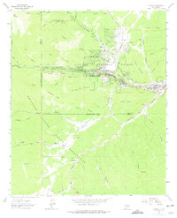
Ruidoso serves as the focal point of this mid-century New Mexico landscape, situated at the confluence of the North Fork Rio Ruidoso and South Fork Rio Ruidoso. The town is framed by the steep topography of the Lincoln National Forest to the north and the Mescalero Apache Indian Reservation to the south. Notable 1960s development is evident in the residential expansion at Ponderosa Heights and the infrastructure serving Hollywood to the east.
Find a feature on this map
50 named features on this map. Tap any name to fly to it.
Don’t see what you’re looking for? This feature index may not catch every label — zoom into the map to look around manually.
Map Details
Editions of this 1963 Ruidoso Map
3 editions found
Other maps of this area

1950 · Sierra Blanca Peak
USGS Topo · 1:62,500

1950 · Mescalero
USGS Topo · 1:62,500

1955 · Roswell
USGS Topo · 1:250,000

1958 · Roswell
USGS Topo · 1:250,000

1962 · Roswell
USGS Topo · 1:250,000

1963 · Fort Stanton
USGS Topo · 1:24,000

1963 · Ruidoso Downs
USGS Topo · 1:24,000

1963 · Angus
USGS Topo · 1:24,000

1963 · Apache Summit
USGS Topo · 1:24,000
1963 · Whitetail
USGS Topo · 1:24,000