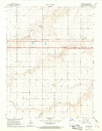
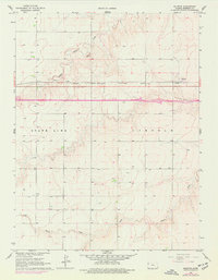
1966 Map of Ruleton
USGS Topo · Published 1967About this map
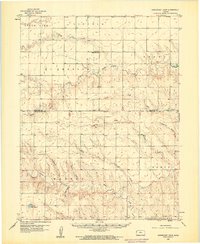
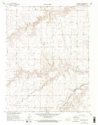
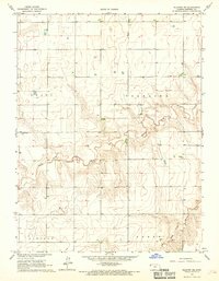
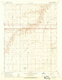
Ruleton serves as the focal point of this Western Kansas landscape during the mid-1960s, situated along the Chicago Rock Island and Pacific railroad line. The map captures a significant moment in the region's infrastructure development, with a new highway noted as Under Construction running parallel to the established rail corridor. The drainage of the High Plains is defined by the wandering paths of Middle Fork Beaver Creek and South Fork Beaver Creek, which carve gentle depressions across the terrain.
Find a feature on this map
10 named features on this map. Tap any name to fly to it.
Don’t see what you’re looking for? This feature index may not catch every label — zoom into the map to look around manually.
Map Details
Editions of this 1966 Ruleton Map
2 editions found
Other maps of this area

1954 · Limon
USGS Topo · 1:250,000

1954 · Goodland
USGS Topo · 1:250,000

1956 · Goodland
USGS Topo · 1:250,000

1957 · Limon
USGS Topo · 1:250,000

1957 · Goodland
USGS Topo · 1:250,000

1958 · Limon
USGS Topo · 1:250,000
1959 · Horsethief Draw
USGS Topo · 1:62,500
1966 · Ruleton NW
USGS Topo · 1:24,000
1966 · Ruleton NE
USGS Topo · 1:24,000
1966 · Ruleton SE
USGS Topo · 1:24,000