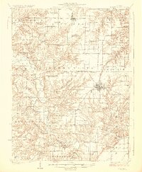
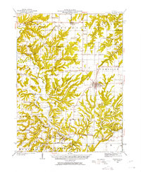
1926 Map of Rushville
USGS Topo · Published 1926About this map
The Rushville town grid serves as the hub of this 1920s Schuyler County landscape, where the Chicago Burlington and Quincy railroad line terminates in the center of town. This era reflects a high density of rural education and worship, with dozens of family-named schoolhouses and small chapels such as the Olive Branch School, White Sulphur School, and Ebenezer Church scattered across the township boundaries. The terrain is deeply defined by the branching tributaries of the La Moine River, Crooked Creek, and Missouri Creek, which create a complex network of ridges and valleys that dictated the placement of early homesteads.
Find a feature on this map
86 named features on this map. Tap any name to fly to it.
Don’t see what you’re looking for? This feature index may not catch every label — zoom into the map to look around manually.
Map Details
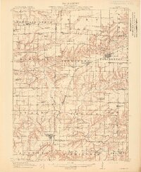
Editions of this 1926 Rushville Map
2 editions found
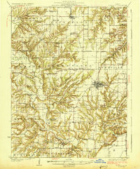
Other maps of this area

1912 · Macomb
USGS Topo · 1:62,500
1913 · Colchester
USGS Topo · 1:62,500
1914 · Macomb
USGS Topo · 1:62,500

1918 · Vermont
USGS Topo · 1:62,500
1921 · Vermont
USGS Topo · 1:62,500
1923 · Rushville
USGS Topo · 1:62,500
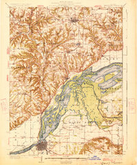
1926 · Beardstown
USGS Topo · 1:62,500
1926 · Rushville
USGS Topo · 1:62,500
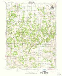
1926 · Mt Sterling
USGS Topo · 1:62,500

1928 · Meredosia
USGS Topo · 1:62,500