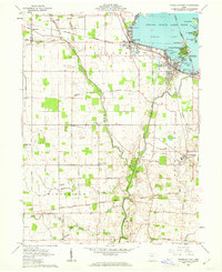
1961 Map of Russells Point
USGS Topo · Published 1963About this map
Indian Lake dominates the northeast corner of this 1961 survey, where the leisure economy of Russells Point and Lakeview flourished alongside the New York Central railroad line. The lake's shoreline is defined by numerous named landforms including Orchard Island, Wolf Island, and Paradise Island, with recreational sites like Crystal Beach and Fox Island State Park serving the local community.
Find a feature on this map
72 named features on this map. Tap any name to fly to it.
Don’t see what you’re looking for? This feature index may not catch every label — zoom into the map to look around manually.
Map Details
Editions of this 1961 Russells Point Map
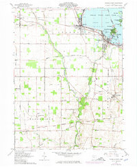
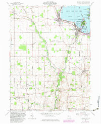
Other maps of this area

1906 · Lima
USGS Topo · 1:62,500

1913 · Alger
USGS Topo · 1:48,000

1913 · Bellefontaine
USGS Topo · 1:48,000

1913 · Sidney
USGS Topo · 1:62,500

1915 · Alger
USGS Topo · 1:62,500

1915 · Bellefontaine
USGS Topo · 1:62,500

1943 · Alger
USGS Topo · 1:62,500

1944 · Sidney
USGS Topo · 1:62,500

1944 · Bellefontaine
USGS Topo · 1:62,500

1950 · Marion
USGS Topo · 1:250,000