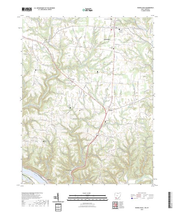
2023 Map of Russellville
USGS Topo · Published 2023About this map
Russellville and its surrounding rural townships are revealed in this detailed contemporary topographic record, centered on the intersection of US Rte 68 and US Rte 62. The landscape is a network of ridges and hollows, where names like Hillman Ridge, Dixon Ridge, and Pisgah Ridge define the local geography. The settlement pattern remains largely agricultural, with small communities such as Redoak and Stringtown punctuating the roadway network.
Find a feature on this map
101 named features on this map. Tap any name to fly to it.
Don’t see what you’re looking for? This feature index may not catch every label — zoom into the map to look around manually.
Map Details
Editions of this 2023 Russellville Map
This is the sole edition of this map. No revisions or reprints were ever made.
Other maps of this area

1915 · Maysville
USGS Topo · 1:62,500

1918 · Seaman
USGS Topo · 1:62,500

1919 · Maysville
USGS Topo · 1:62,500

1928 · Higginsport
USGS Topo · 1:48,000

1929 · Springdale
USGS Topo · 1:48,000

1931 · Higginsport
USGS Topo · 1:62,500

1935 · Springdale
USGS Topo · 1:62,500

1952 · Maysville East
USGS Topo · 1:24,000

1952 · Germantown
USGS Topo · 1:24,000

1952 · Higginsport
USGS Topo · 1:24,000