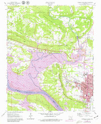
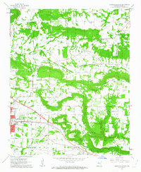
1963 Map of Russellville West
USGS Topo · Published 1979About this map
Russellville and its western surroundings are defined by the convergence of industrial progress and deep-rooted land markers. The Arkansas River serves as the southern anchor, featuring the Dardanelle Lock and Dam and the expansive Lake Dardanelle State Park. North of the river, the landscape rises toward Norristown Mountain and London Mountain, while the Old Indian Treaty Boundary slices diagonally through the center of the sheet, providing a rare mapped record of 19th-century tribal demarcations.
Find a feature on this map
67 named features on this map. Tap any name to fly to it.
Don’t see what you’re looking for? This feature index may not catch every label — zoom into the map to look around manually.
Map Details
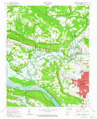
Editions of this 1963 Russellville West Map
2 editions found
Other maps of this area

1888 · Dardanelle #4
USGS Topo · 1:62,500

1888 · Dardanelle #2
USGS Topo · 1:62,500

1888 · Dardanelle #1
USGS Topo · 1:62,500

1888 · Dardanelle #3
USGS Topo · 1:62,500

1890 · Dardanelle
USGS Topo · 1:125,000

1956 · Russellville
USGS Topo · 1:250,000
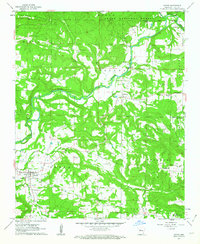
1961 · Dover
USGS Topo · 1:24,000
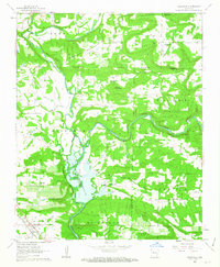
1962 · Knoxville
USGS Topo · 1:24,000
1962 · Russellville East
USGS Topo · 1:24,000

1962 · Delaware
USGS Topo · 1:24,000