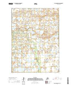
2017 Map of Russian Mission A-5 SE
USGS Topo · Published 2017About this map
The Tuluksak River meanders across this vast delta landscape in the Bethel Census Area, illustrating the complex hydrology of the Yukon-Kuskokwim Delta. The river's winding course is mirrored by numerous oxbow lakes and smaller tributaries, such as Birch Slough, which branch off into the surrounding wetlands. This 2017 survey captures a remote and fluid environment where the water determines the character of the land, showing the detailed township and range lines across t12n r64w and t11n r64w. The absence of developed roads or permanent settlements highlights the reliance on these waterways for navigation and seasonal subsistence activities in this part of western Alaska.
Find a feature on this map
6 named features on this map. Tap any name to fly to it.
Don’t see what you’re looking for? This feature index may not catch every label — zoom into the map to look around manually.
Map Details
Editions of this 2017 Russian Mission A-5 SE Map
This is the sole edition of this map. No revisions or reprints were ever made.
Other maps of this area

1947 · Russian Mission
USGS Topo · 1:250,000

1950 · Russian Mission
USGS Topo · 1:250,000

1950 · Bethel
USGS Topo · 1:250,000

1954 · Russian Mission A-4
USGS Topo · 1:63,360

1954 · Russian Mission A-5
USGS Topo · 1:63,360

1954 · Bethel D-4
USGS Topo · 1:63,360

1954 · Bethel D-5
USGS Topo · 1:63,360

1980 · Russian Mission
USGS Topo · 1:250,000

1980 · Bethel
USGS Topo · 1:250,000
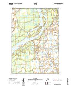
2017 · Russian Mission A-5 NW
USGS Topo · 1:25,000