
1954 Map of Russian Mission A-6
USGS Topo · Published 1962About this map
Tuluksak sits at the confluence of two major waterways in the Alaskan interior, serving as the primary hub of human activity in this mid-century survey. The landscape is defined by the massive, braided Kuskokwim River, which dominates the southeastern quadrant. A network of secondary water bodies, including the Tuluksak River, Gweek River, and Mishevik Slough, meander through an intricate mosaic of lakes and marshland. Human presence is sparse, marked primarily by isolated Cabins and a Winter Trail that provides a seasonal overland route parallel to the Kuskokwim. The surveying effort, conducted by the Army Map Service and the Geological Survey in the early 1950s, reveals a river-dependent economy and traditional transportation routes in the Yukon-Kuskokwim Delta region before modern infrastructure was established.
Find a feature on this map
11 named features on this map. Tap any name to fly to it.
Don’t see what you’re looking for? This feature index may not catch every label — zoom into the map to look around manually.
Map Details
Editions of this 1954 Russian Mission A-6 Map
This is the sole edition of this map. No revisions or reprints were ever made.
Other maps of this area

1947 · Russian Mission
USGS Topo · 1:250,000

1950 · Russian Mission
USGS Topo · 1:250,000

1950 · Bethel
USGS Topo · 1:250,000
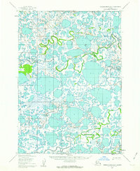
1952 · Russian Mission B-7
USGS Topo · 1:63,360
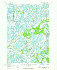
1952 · Russian Mission B-6
USGS Topo · 1:63,360

1954 · Russian Mission B-5
USGS Topo · 1:63,360

1954 · Russian Mission A-5
USGS Topo · 1:63,360
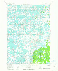
1954 · Russian Mission A-7
USGS Topo · 1:63,360

1954 · Bethel D-7
USGS Topo · 1:63,360

1954 · Bethel D-6
USGS Topo · 1:63,360