
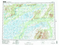
1980 Map of Russian Mission
USGS Topo · Published 1980About this map
Yukon River and Kuskokwim River corridors dominate this region, defining a landscape of complex waterways and traditional seasonal sites. Settlement patterns reflect the enduring reliance on these river systems, with prominent villages like Russian Mission and Aniak serving as hubs alongside smaller outposts such as Tuckers Fish Camp and Dogfish Village. The map captures a transition in infrastructure, noting a Seaplane Anchorage and multiple landing areas that connect these remote riverside communities.
Find a feature on this map
94 named features on this map. Tap any name to fly to it.
Don’t see what you’re looking for? This feature index may not catch every label — zoom into the map to look around manually.
Map Details
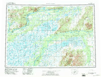
Editions of this 1980 Russian Mission Map
3 editions found
Other maps of this area

1947 · Russian Mission
USGS Topo · 1:250,000

1950 · Russian Mission
USGS Topo · 1:250,000

1950 · Sleetmute
USGS Topo · 1:250,000

1950 · Bethel
USGS Topo · 1:250,000

1950 · Taylor Mountains
USGS Topo · 1:250,000

1951 · Marshall
USGS Topo · 1:250,000

1951 · Taylor Mountains
USGS Topo · 1:250,000

1951 · Holy Cross
USGS Topo · 1:250,000

1951 · Iditarod
USGS Topo · 1:250,000

1951 · Baird Inlet
USGS Topo · 1:250,000