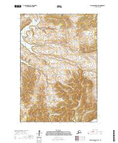
2017 Map of Russian Mission C-8 NE
USGS Topo · Published 2017About this map
Engineer Lake and its outlet, Engineer Cr, dominate the northwestern corner of this remote Alaskan terrain in the Kusilvak Census Area. The landscape is defined by a complex network of wetlands and small water bodies, typical of the delta region’s low-lying hydrology. Surveyed for the t19n r69w and surrounding townships, the map documents a largely unsettled wilderness where natural drainage patterns and elevation contours are the primary identifiers. The presence of Engineer Cr winding through the northern sections suggests a critical drainage route for the high-latitude marshes, providing a detailed look at the unpopulated interior before any significant infrastructure or permanent settlements were established in this specific quadrangle.
Find a feature on this map
6 named features on this map. Tap any name to fly to it.
Don’t see what you’re looking for? This feature index may not catch every label — zoom into the map to look around manually.
Map Details
Editions of this 2017 Russian Mission C-8 NE Map
This is the sole edition of this map. No revisions or reprints were ever made.
Other maps of this area

1947 · Russian Mission
USGS Topo · 1:250,000

1950 · Russian Mission
USGS Topo · 1:250,000

1952 · Russian Mission C-8
USGS Topo · 1:63,360
1952 · Russian Mission C-7
USGS Topo · 1:63,360
1952 · Russian Mission D-8
USGS Topo · 1:63,360
1952 · Russian Mission D-7
USGS Topo · 1:63,360

1980 · Russian Mission
USGS Topo · 1:250,000
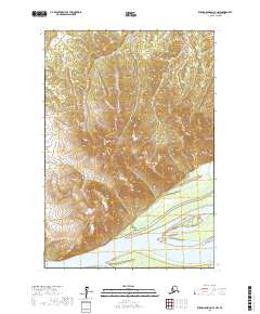
2017 · Russian Mission C-7 NW
USGS Topo · 1:25,000
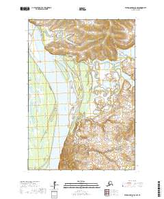
2017 · Russian Mission C-8 NW
USGS Topo · 1:25,000
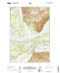
2017 · Russian Mission C-8 SW
USGS Topo · 1:25,000