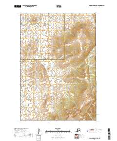
2019 Map of Russian Mission D-1 NW
USGS Topo · Published 2019About this map
The Oidhat River winds through the southeastern corner of this landscape, marking a rare break in a terrain dominated by elevation and administrative boundaries. The sheet centers on the intersection of the Yukon-Koyukuk Census Area and the Bethel Census Area, highlighting a remote portion of the Alaskan interior where the natural drainage patterns of the Oidhat River are the primary geographic features of interest. The lack of named settlements or roads emphasizes the isolation of this region within the Bethel Census Area, where topography and water define the character of the land.
Find a feature on this map
6 named features on this map. Tap any name to fly to it.
Don’t see what you’re looking for? This feature index may not catch every label — zoom into the map to look around manually.
Map Details
Editions of this 2019 Russian Mission D-1 NW Map
This is the sole edition of this map. No revisions or reprints were ever made.
Other maps of this area

1947 · Russian Mission
USGS Topo · 1:250,000

1950 · Russian Mission
USGS Topo · 1:250,000

1951 · Holy Cross
USGS Topo · 1:250,000

1952 · Holy Cross A-1
USGS Topo · 1:63,360

1952 · Russian Mission D-2
USGS Topo · 1:63,360

1952 · Holy Cross
USGS Topo · 1:250,000

1952 · Russian Mission D-1
USGS Topo · 1:63,360

1980 · Russian Mission
USGS Topo · 1:250,000
2019 · Russian Mission D-2 SE
USGS Topo · 1:25,000
2019 · Russian Mission D-1 NE
USGS Topo · 1:25,000