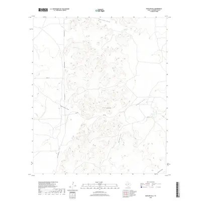
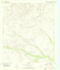
2019 Map of Rustler Hills
USGS Topo · Published 2019About this map
Rustler Hills dominate this portion of the Trans-Pecos landscape, where ephemeral water sources like Jose Tank and Salt Cr dictate the character of the terrain. The map details a network of dry watercourses, most notably Monument Draw and Virginia Draw, which define the drainage patterns through this arid environment. Ranching infrastructure and local transit are evident in the presence of Rustler Springs Rd and Duval Rd, providing access to isolated points such as Rustler Spring and Horseshoe Springs. The geography is characterized by these sparse, named water features and the complex series of draws that cut through the undulating hills, offering a clear record of land use and natural hydrology in Culberson County.
Find a feature on this map
15 named features on this map. Tap any name to fly to it.
Don’t see what you’re looking for? This feature index may not catch every label — zoom into the map to look around manually.
Map Details
Editions of this 2019 Rustler Hills Map
This is the sole edition of this map. No revisions or reprints were ever made.
Other maps of this area

1954 · Van Horn
USGS Topo · 1:250,000

1958 · Van Horn
USGS Topo · 1:250,000
1973 · Two Mill Draw West
USGS Topo · 1:24,000
1973 · Seven L Peak NE
USGS Topo · 1:24,000
1973 · Rustler Hills
USGS Topo · 1:24,000
1973 · Screw Bean Draw West
USGS Topo · 1:24,000
1973 · Dry Lake
USGS Topo · 1:24,000
1973 · Derrick Draw
USGS Topo · 1:24,000
1973 · Castile Hill
USGS Topo · 1:24,000
1973 · Two Mill Draw East
USGS Topo · 1:24,000