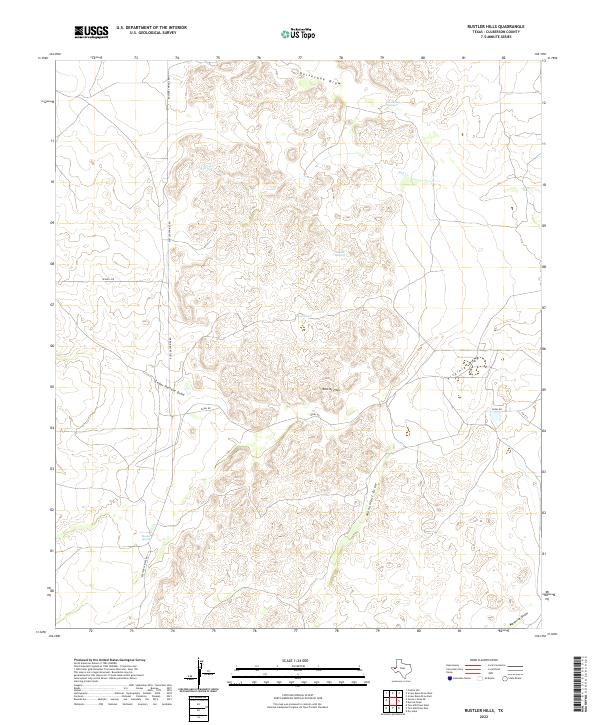
2022 Map of Rustler Hills
USGS Topo · Published 2022About this map
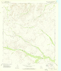
The Rustler Hills dominate this western Texas landscape, a region defined by its complex network of ephemeral drainage patterns and isolated water sources in Culberson County. Water, the most critical resource in this arid terrain, is marked by scattered points such as Rustler Springs, Horseshoe Springs, and the smaller Rustler Spring to the south. These features, along with Jose Tank, likely served as vital stopovers for ranching and transit throughout the area's history.
Find a feature on this map
15 named features on this map. Tap any name to fly to it.
Don’t see what you’re looking for? This feature index may not catch every label — zoom into the map to look around manually.
Map Details
Editions of this 2022 Rustler Hills Map
This is the sole edition of this map. No revisions or reprints were ever made.
Other maps of this area

1954 · Van Horn
USGS Topo · 1:250,000

1958 · Van Horn
USGS Topo · 1:250,000

1973 · Two Mill Draw West
USGS Topo · 1:24,000

1973 · Seven L Peak NE
USGS Topo · 1:24,000

1973 · Rustler Hills
USGS Topo · 1:24,000

1973 · Screw Bean Draw West
USGS Topo · 1:24,000
1973 · Dry Lake
USGS Topo · 1:24,000
1973 · Derrick Draw
USGS Topo · 1:24,000
1973 · Castile Hill
USGS Topo · 1:24,000
1973 · Two Mill Draw East
USGS Topo · 1:24,000