Loading...
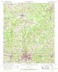
Loading map...1950 Map of Ruston
USGS Topo · Published 1969About this map
Ruston serves as the primary hub of this North Louisiana landscape, where the Illinois Central and Chicago Rock Island and Pacific railroads intersect. The map documents a mid-century period of growth for Grambling and Dubach, set against a rural backdrop of numerous family-named landmarks and country institutions. Small communities like Vienna and Hico are well-defined by their local schools and churches, including Macedonia Sch and Greenwood Ch.
Find a feature on this map
66 named features on this map. Tap any name to fly to it.
Don’t see what you’re looking for? This feature index may not catch every label — zoom into the map to look around manually.
Map Details
Date Portrayed1950
Date Published1969
PublisherU.S. Geological Survey
Map TypeTopographic
Scale1:62,500
Physical Dimensions16.9 x 21 inches
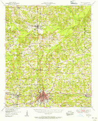
Editions of this 1950 Ruston Map
2 editions found
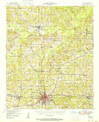
Historical Maps of Ruston Through Time
Featured Locations
Source Details
SourceU.S. Geological Survey
CopyrightPublic Domain