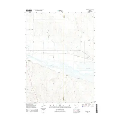
2014 Map of Ruthton
USGS Topo · Published 2014About this map
Lake McConaughy and the braiding channels of the North Platte River dominate the southern portion of this landscape at the boundary of Keith and Garden Counties. This area is defined by a complex irrigation network, including the Graf Canal and Blue Cr Canal, which supports the agricultural base near Ruthton. The terrain is marked by significant historical landmarks like Windlass Hill and Ash Hollow, famous waypoints for early westward travel. Genealogists will find several burial sites preserved across the landscape, notably Plum Creek Cem and the Ash Hollow Cem. To the north, the topography rises into sandhills near Clear Creek Springs, while deep ravines like Spring Canyon and Dankworth Canyon cut through the bluffs south of the river.
Find a feature on this map
26 named features on this map. Tap any name to fly to it.
Don’t see what you’re looking for? This feature index may not catch every label — zoom into the map to look around manually.
Map Details
Editions of this 2014 Ruthton Map
This is the sole edition of this map. No revisions or reprints were ever made.
Other maps of this area
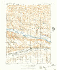
1897 · Ogallala
USGS Topo · 1:125,000
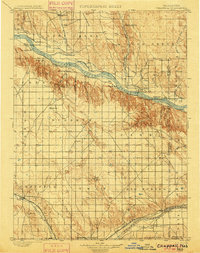
1900 · Chappell
USGS Topo · 1:125,000
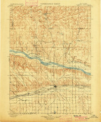
1900 · Ogallala
USGS Topo · 1:125,000
1954 · Scottsbluff
USGS Topo · 1:250,000
1954 · North Platte
USGS Topo · 1:250,000
1956 · North Platte
USGS Topo · 1:250,000
1957 · North Platte
USGS Topo · 1:250,000
1958 · Scottsbluff
USGS Topo · 1:250,000
1967 · North Platte
USGS Topo · 1:250,000
1971 · Brule NW
USGS Topo · 1:24,000