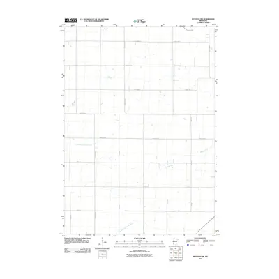
2010 Map of Ruthton NW
USGS Topo · Published 2010About this map
Redwood River meanders across the eastern plains of Lincoln County, defining a landscape dominated by a rigorous section-line road grid. This agricultural corridor, captured at the start of the 21st century, is organized by a dense network of county highways and local avenues such as 140th Ave and 221st St. The hydrology of the region is a mix of natural waterways and managed systems, including the East Branch Flandreau Creek and the engineered County Ditch Number Forty. The map reveals how the modern rural economy relies on these precise transit and drainage routes, with the North Branch Pipestone Creek cutting across the southwestern corner of the quadrangle.
Find a feature on this map
21 named features on this map. Tap any name to fly to it.
Don’t see what you’re looking for? This feature index may not catch every label — zoom into the map to look around manually.
Map Details
Editions of this 2010 Ruthton NW Map
This is the sole edition of this map. No revisions or reprints were ever made.
Other maps of this area

1953 · Watertown
USGS Topo · 1:250,000

1958 · Watertown
USGS Topo · 1:250,000

1963 · Dead Coon Lake
USGS Topo · 1:24,000

1963 · Tyler
USGS Topo · 1:24,000

1967 · Pipestone North
USGS Topo · 1:24,000
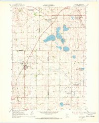
1967 · Ruthton
USGS Topo · 1:24,000

1967 · Ruthton NW
USGS Topo · 1:24,000
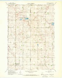
1967 · Woodstock
USGS Topo · 1:24,000

1967 · Verdi
USGS Topo · 1:24,000

1967 · Lake Benton
USGS Topo · 1:24,000