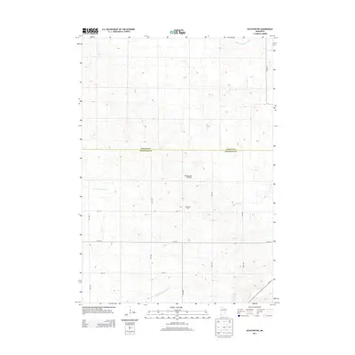
2013 Map of Ruthton NW
USGS Topo · Published 2013About this map
The Coteau des Prairies, a high glacial plateau, dominates this agricultural landscape at the border of Lincoln and Pipestone counties. This 2013 survey reveals a complex hydrological network where several regional waterways originate or pass through. The Redwood River flows eastward, while the Rock River and North Br Pipestone Cr drain the southern reaches. Evidence of agricultural industry is noted at the Welgraven Dairy, situated among the strictly gridded section lines of the rural township road system, including 150th Ave and 211th St. The map also captures the headwaters of the East Br Flandreau Cr and the engineered water management of County Ditch Number Forty in the northern sections, illustrating how the natural prairie terrain has been adapted for modern farming.
Find a feature on this map
18 named features on this map. Tap any name to fly to it.
Don’t see what you’re looking for? This feature index may not catch every label — zoom into the map to look around manually.
Map Details
Editions of this 2013 Ruthton NW Map
This is the sole edition of this map. No revisions or reprints were ever made.
Other maps of this area

1953 · Watertown
USGS Topo · 1:250,000

1958 · Watertown
USGS Topo · 1:250,000

1963 · Dead Coon Lake
USGS Topo · 1:24,000

1963 · Tyler
USGS Topo · 1:24,000

1967 · Pipestone North
USGS Topo · 1:24,000
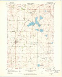
1967 · Ruthton
USGS Topo · 1:24,000

1967 · Ruthton NW
USGS Topo · 1:24,000
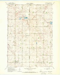
1967 · Woodstock
USGS Topo · 1:24,000

1967 · Verdi
USGS Topo · 1:24,000

1967 · Lake Benton
USGS Topo · 1:24,000