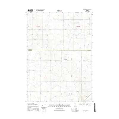
2016 Map of Ruthton NW
USGS Topo · Published 2016About this map
The Coteau des Prairies, a vast plateau of glacial origin, dominates the landscape across the Lincoln Co and Pipestone Co boundary. This high ground serves as a major hydrological divide, evidenced by the diverse directional flow of the waterways originating here. The headwaters of several significant regional streams emerge from this elevation, including the Redwood River, which flows toward the Minnesota River basin, and the E Br Flandreau Cr, N Br Pipestone Cr, and Rock River, which drain toward the Big Sioux. The map reflects a meticulously organized agricultural grid, with rural corridors like Co Rd 9, Co Rd 17, and Co Rd 10 providing the primary structure for the scattered farmsteads and fields of the Minnesota prairie.
Find a feature on this map
41 named features on this map. Tap any name to fly to it.
Don’t see what you’re looking for? This feature index may not catch every label — zoom into the map to look around manually.
Map Details
Editions of this 2016 Ruthton NW Map
This is the sole edition of this map. No revisions or reprints were ever made.
Other maps of this area
1953 · Watertown
USGS Topo · 1:250,000
1958 · Watertown
USGS Topo · 1:250,000
1963 · Dead Coon Lake
USGS Topo · 1:24,000
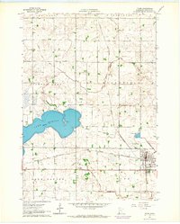
1963 · Tyler
USGS Topo · 1:24,000
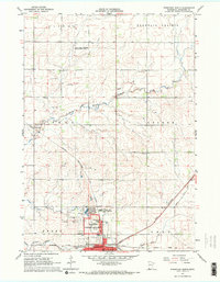
1967 · Pipestone North
USGS Topo · 1:24,000
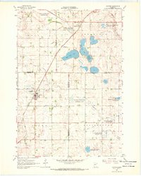
1967 · Ruthton
USGS Topo · 1:24,000
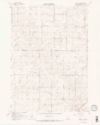
1967 · Ruthton NW
USGS Topo · 1:24,000
1967 · Woodstock
USGS Topo · 1:24,000
1967 · Verdi
USGS Topo · 1:24,000
1967 · Lake Benton
USGS Topo · 1:24,000