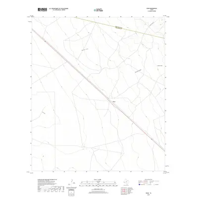
2019 Map of Ryan
USGS Topo · Published 2019About this map
The settlement of Ryan serves as the focal point for this Trans-Pecos landscape at the edge of the Jeff Davis Co and Presidio Co line. Bisected by Highway 90, the terrain is defined by a series of drainage systems including Medley Draw, Ryan Draw, and the deep contours of Owls Nest Canyon. The mapping reveals a sparse ranching and transportation corridor where the vastness of the Chihuahuan Desert meets the foothills. To the east, the landscape rises toward Juniper Draw, while the local infrastructure is limited to significant thoroughfares such as S Barrel Springs Rd. This survey documents a remote portion of West Texas where the linear geometry of the highway and county boundary provides the primary structural contrast to the natural topography of canyons and draws.
Find a feature on this map
12 named features on this map. Tap any name to fly to it.
Don’t see what you’re looking for? This feature index may not catch every label — zoom into the map to look around manually.
Map Details
Editions of this 2019 Ryan Map
This is the sole edition of this map. No revisions or reprints were ever made.
Other maps of this area
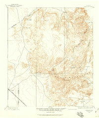
1894 · Valentine
USGS Topo · 1:125,000
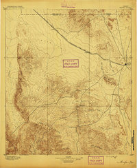
1895 · Marfa
USGS Topo · 1:125,000
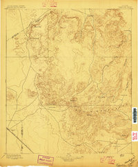
1897 · Valentine
USGS Topo · 1:125,000
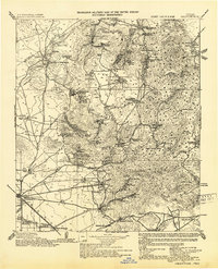
1943 · Valentine
USGS Topo · 1:125,000
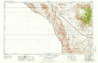
1959 · Marfa
USGS Topo · 1:250,000
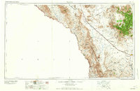
1965 · Marfa
USGS Topo · 1:250,000
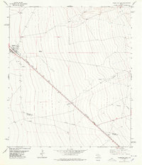
1978 · Valentine East
USGS Topo · 1:24,000
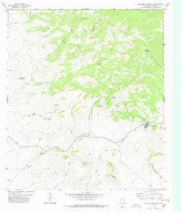
1978 · Paradise Mountain
USGS Topo · 1:24,000
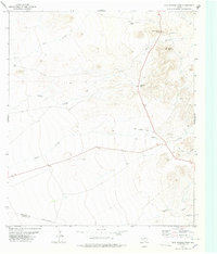
1978 · San Antonio Pass
USGS Topo · 1:24,000
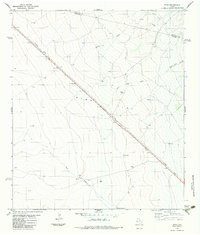
1983 · Ryan
USGS Topo · 1:24,000