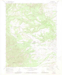
1969 Map of Rye
USGS Topo · Published 1985About this map
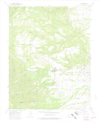
Rye and the developing area of Colorado City sit at the base of the mountains where the prairie meets the forest. In the late 1960s, this landscape shows a transition from the rugged canyons and ridges of the San Isabel National Forest to the managed water systems of the foothills, including the Standard Ditch and a local Fish Hatchery. The settlement of Rye is clearly defined with its High Sch, the nearby Brookside Cem, and several named water courses like Greenhorn Creek and Graneros Creek that drain the high country. To the west, the Huckleberry Hills and the prominent Table Mountain provide a backdrop for the Bartlett Trail, while the map also tracks the county boundary between Pueblo and Huerfano counties.
Find a feature on this map
32 named features on this map. Tap any name to fly to it.
Don’t see what you’re looking for? This feature index may not catch every label — zoom into the map to look around manually.
Map Details
Editions of this 1969 Rye Map
6 editions found
Other maps of this area

1889 · Canon City
USGS Topo · 1:125,000

1889 · Huerfano Park
USGS Topo · 1:125,000

1891 · Walsenburg
USGS Topo · 1:125,000

1891 · Pueblo
USGS Topo · 1:125,000

1892 · Huerfano Park
USGS Topo · 1:125,000

1892 · Canon City
USGS Topo · 1:125,000

1894 · Walsenburg
USGS Topo · 1:125,000

1894 · Pueblo
USGS Topo · 1:125,000

1896 · Pueblo
USGS Topo · 1:125,000

1897 · Pueblo
USGS Topo · 1:125,000