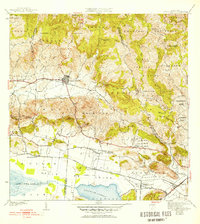
1941 Map of Sabana Grande
USGS Topo · Published 1952About this map
Sabana Grande serves as the focal point of this southwestern Puerto Rican landscape, situated where the northern mountains transition into the Valle de Lajas. The 1941 survey captures a period when the American Railroad was a primary artery for the region, connecting stops like Estación La Plata and Estación Santa Rita. This rail network supported a sugar-driven economy, evidenced by the proximity of tracks to the vast wetlands of Ciénaga El Anegado and the Laguna de Guánica.
Find a feature on this map
78 named features on this map. Tap any name to fly to it.
Don’t see what you’re looking for? This feature index may not catch every label — zoom into the map to look around manually.
Map Details
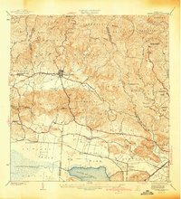
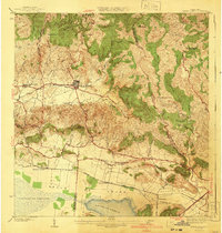
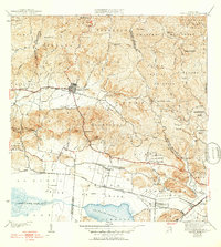
Editions of this 1941 Sabana Grande Map
5 editions found
Other maps of this area

1937 · San German
USGS Topo · 1:25,000

1937 · Sabana Grande
USGS Topo · 1:25,000

1938 · Guanica
USGS Topo · 1:30,000

1938 · Parguera
USGS Topo · 1:30,000

1941 · San German
USGS Topo · 1:30,000

1941 · Sabana Grande
USGS Topo · 1:30,000

1941 · Rosario
USGS Topo · 1:30,000

1942 · Rosario
USGS Topo · 1:30,000

1946 · Maricao
USGS Topo · 1:30,000

1946 · Yauco
USGS Topo · 1:30,000
Featured Places
- Sabana Grande
- Sector Río Loco, Yauco
- Sector El Puente, Sabana Grande
- Sector Papayo, Sabana Grande
- Sector Facio, Yauco