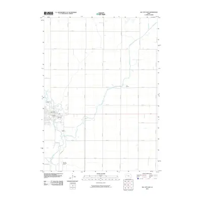
2010 Map of Sac City East
USGS Topo · Published 2010About this map
The North Raccoon River winds through the southwestern corner of this Iowa landscape, serving as the geographic anchor for the town of Sac City. In the early 21st century, the community's layout is defined by the proximity of the Sac City Post Office to the river's bend and the sprawling Sac County Fairgrounds just to the east. The terrain beyond the town limits is a geometric grid of rural roads, including Voss Ave and Wadsley Ave, which navigate a landscape drained by Cedar Creek and Prairie Creek.
Find a feature on this map
33 named features on this map. Tap any name to fly to it.
Don’t see what you’re looking for? This feature index may not catch every label — zoom into the map to look around manually.
Map Details
Editions of this 2010 Sac City East Map
This is the sole edition of this map. No revisions or reprints were ever made.
Other maps of this area

1954 · Fort Dodge
USGS Topo · 1:250,000

1957 · Fort Dodge
USGS Topo · 1:250,000

1958 · Fort Dodge
USGS Topo · 1:250,000

1979 · Fonda
USGS Topo · 1:24,000

1979 · Newell West
USGS Topo · 1:24,000

1979 · Newell East
USGS Topo · 1:24,000

1980 · Lytton
USGS Topo · 1:24,000

1980 · Sac City East
USGS Topo · 1:24,000

1980 · Grant City
USGS Topo · 1:24,000

1980 · Yetter
USGS Topo · 1:24,000